Distance: 13.7miles
Today I hiked with the GSHAG group in the Balsam mountain area of the park. Today's group consisted of Conrad, Lynn, Heather and Paula. I was hopeful that there would be lots of scenic views on this day, but the weather didn't cooperate. If you want to see what this hike looks like on a clear day, checkout the blog post from 10/30/14.
I left the house about 6:55 and arrived a Polls Gap about 9:05. The others were there by 9:30 and we set out down the trail about 9:45 in a steady drizzle. We had hopes that the rain wouldn't last, but in the end we spent the entire day in a light rain.
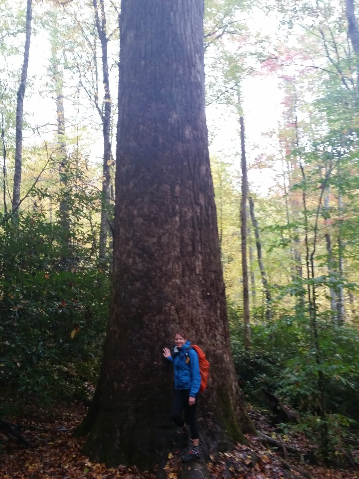
The trail begins with a steady but not very steep descent from Polls Gap. The trail was a little mushy but mostly in great shape. After about 3 miles, the trail starts descending steeply. After 3.5 miles, the Caldwell Fork trail intersects from the right. We took Caldwell Fork and continued descending down the mountain. A bit more than a mile down Caldwell, a small sign indicates the Big Poplars are off to the left. There is only 1 big Poplar now, but it is very big.


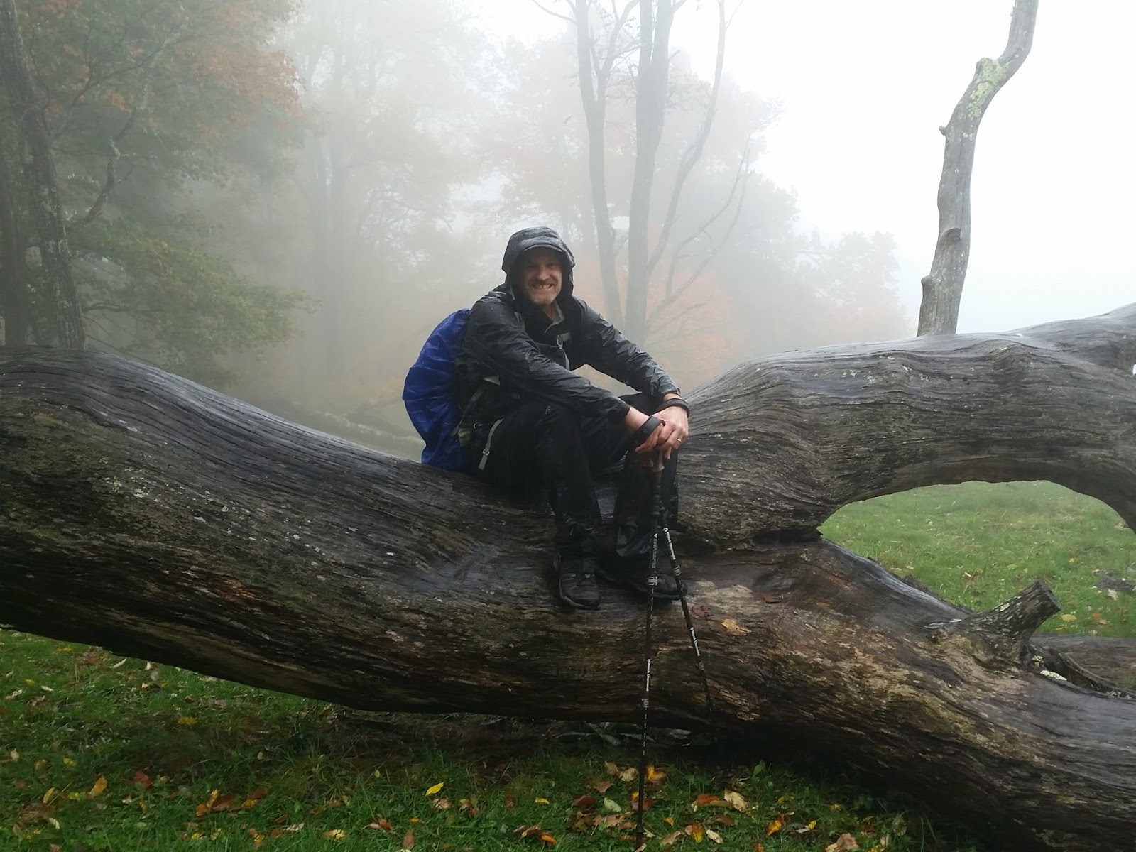
This old dead tree is at the Cataloochee Divide intersection.

There were no views today on the Bald.


No comments:
Post a Comment