Sunday, September 28, 2014

Hyatt Ridge – Enloe Creek – Hughes Ridge – Pecks Shelter for the night – AT to Balsam Mtn – Balsam Mtn – Beech Gap Backpack

Date: 9/27/14 - 9/28/14
Distance: 25.7
New Map Miles: 19.4
Total Map Miles: 537.2

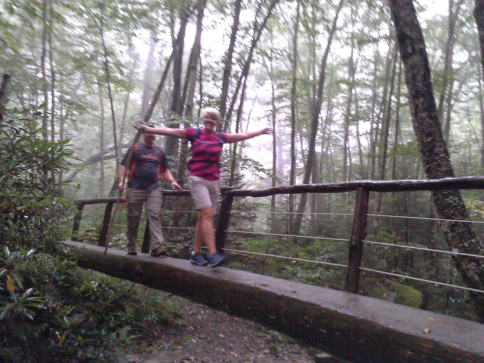
This weekend I went backpacking with the GSHAG group.  Conrad, Richard, Harold, Bill, Ahmad and Heather were awesome companions this weekend.  The group was a very diverse group, but we were united in enjoying the park.

We started on the Hyatt Ridge trail leaving from the Straight Fork Road.

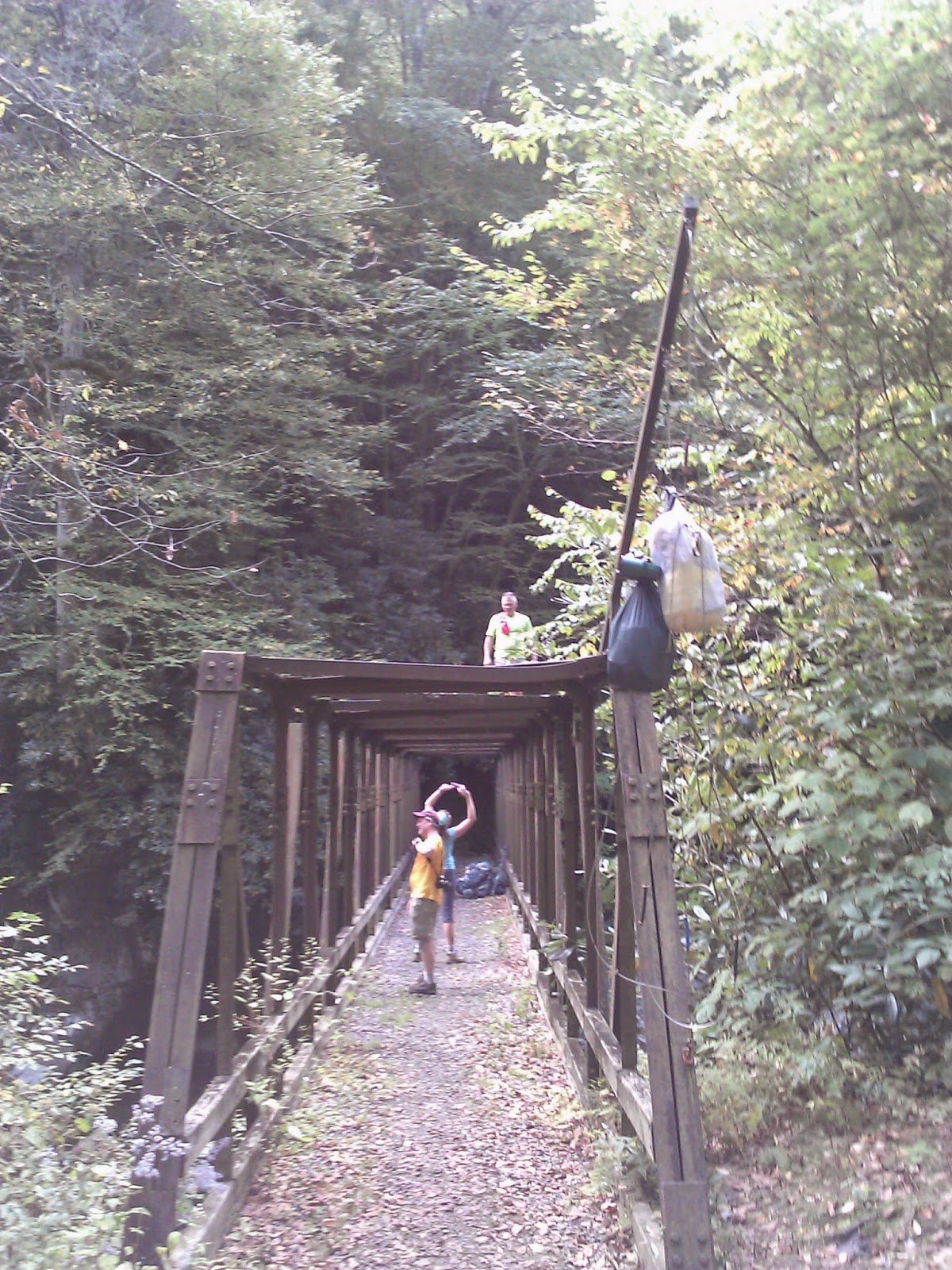
The Hyatt Ridge trail is tough with a 1500' climb over only 1.8 miles.  At the end of the trail, we turned onto Enloe which immediately gives up about 1/2 of the gained elevation.  At the bottom of the hill is a large bridge and a big creek with some nice rapids and huge boulders.


The trail then starts back up with a gain of 800' before reaching the Hughes Ridge intersection.  We turned right on Hughes and continued our climb on up to Pecks Corner Shelter. 


Pecks Corner was a nice shelter with a privy.  Water was a bit of a hike down the hill, but not horrible.  There were a few mice in the shelter, but they didn't seem too bad to me.  Up near the privy, I had Cell phone service and was able to call home for a short while before the call dropped.
We arrived about 3:30, so we had plenty of time for Richard to gather some firewood, so we had a nice fire for the evening.

Sleep wasn't great.  I've got to figure out how to sleep better on these trips.  I felt good the next day even with limited sleep and the hiking was awesome.  We headed right on the AT and traveled on some of the most beautiful trail that I've been on.  There were great views, and just lovely forest along the AT in this section.


At Balsam Mountain, we turned right to circle around to the car.  Balsam Mountain was pretty flat and a very enjoyable high elevation hike.  After 7.8 miles on Balsam, we turned right on Beech Gap.  This trail dropped off of the ridge like a rock.  It was rocky and not that enjoyable, but it was only 2.5 miles to the car.


The weather was great, the hike was awesome and the companions were superb.
Unfortunately a vehicle we used for the shuttle was vandalized which put a bit of a downer on the weekend.

Friday, September 19, 2014

Kanati Fork + Gatlinburg trail

Date: 9/19/14
Distance: 10mi
New Map Miles: 4.8
Total Map Miles: 517.8

The weather was great today, so I took the afternoon off and went to get a few map miles.  The Kanati Fork Trail is on the NC side of 441.  The trailhead is just before The Kephart trail.  I missed it the 1st time and had to turn back to find it.

The Kanati Fork Trail is 2.9 miles straight up the mountain with an elevation rise of 2000' over that distance.
There were a few overgrown spots, but the trail was mostly wide and in good shape.  It was a workout.  The trip back down was quick with a total hike time of about 2 hours.

On the way out of the park, I stopped at the Sugarland Visitors Center and hiked the 2 mile (one way) Gatlinburg Trail.  The 1st few tenths is on the road by the Park Headquarters.  The trail then goes behind a Maintenance area and then follows the road into G'burg.  The rest of the trail is wide and gravel and isn't much of a trail.  There is an hold homesite along the way and the trail goes very close to the GSMNP sign.  The trail ends near the last traffic light in G'burg.  At the end, I turned around and jogged back to the car.

Saturday, September 13, 2014

Alum Cave - Boulevard - AT

Date: 9/13/14
Distance: ~15
New Map Miles: 10.4
Total Map Miles: 513

Today I hiked with the GSHAG meetup group to Mt LeConte.  The day started by meeting at the NFG parking lot and then shuttling down to Alum Cave.  It was raining at the start, but shortly the rain stopped.


The climb to Alum Cave includes a few stream crossings with bridges.


The hike on up to the Lodge was a bit steep and there were several locations with cables to keep you from falling off the side, but the trail was pretty good.

We ate lunch in the lodge and made our way out to Cliff tops after an hour or so.


It cleared off a bit while we relaxed on the rocks.


 Greg and John exchanged a few phone tips and then we headed on out the Boulevard trail.


Over at Myrtle Point, there was more fog.


While waiting on a few hikers, we took the side trail over to the Jump off.  Still not many views, but the sun did come out for a few minutes.


Back at NFG it was still raining.  Good group of hikers on this day made the foggy day enjoyable. (Tim, Greg, Eddie, Jennifer, Lori, Florence, Jon, Carol, Sara)