Saturday, January 24, 2015

Crooked Arm - Scott Mtn - Schoolhouse Gap - Turkeypen - Crib Gap

Date: 1/24/15
Distance: 13.5
New Map Miles: 3.6
Total Map Miles: 762.5

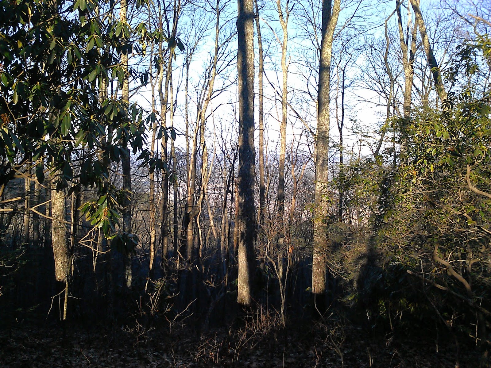
I woke this morning to some rain mixed with light snow, but the weather called for it to move out by 10:00, so I headed to the mountain to check out Scott Mtn.

At Cades Cove, the roads were clear but snow was on the grass and trees and was falling hard.  I started the hike on the Rich Mtn Loop Trail, but after 0.5 miles turned onto Crooked Arm

 Crooked Arm climbs about 1500' in 2.2 miles.  As I climbed the snow steadily got deeper, until at the Scott Mtn intersection the snow was about 4" deep.


Scott Mtn isn't actually open at this time.  My goal was to just hike the "open part" to campsite 6 and then follow the trail on until I reached where the trees were down and then turn back.  I had misread the map before I left.  I thought the campsite was about 1 mile in.  It was actually much closer, but I walked right by it apparently.  I never saw it.  About 1 mile in, I started having to climb through some trees on the ground.  After about 10 or so, I started wondering what had gone wrong, or maybe it is even worse past #6.  I pushed on a bit farther and then decided that I'd missed the campsite.  My phone said I was 1.6 miles in, but at this point, the trail was in really good shape.  I just pressed on. From here to Schoolhouse Gap, the trail was great.  I'd guess that I navigated about 20 blow downs.  None were too difficult, but I did have to slide under a few which was tough as I didn't want to sit in the snow.

Scott is along the edge of the park, so I had cell service in part of it.  It pretty much returns to the elevation of the start of the hike.


There was 1 cabin just off of the trail.


There is also  a cabin at schoolhouse gap.


Schoolhouse is a wide easy to hike road.  It was 1.1 miles to Turkeypen.

 Turkeypen was a normal Smokies single track trail.  It was 3.4 miles to the Crib Gap intersection.

 By the time I reached the Crib Gap Intersection, most of the snow on the trail itself was gone.  At the intersection, I actually turned left to hike the small stub that goes over to Finley Cane.  I wasn't sure if I had done that before.  The trail goes under the road, but you have to walk in the creek as you go through the culvert.  At Finley Cane, I turned right and went to the Lead Cove Parking area.  I crossed the road and continued back to the Crib Gap - Turkeypen Intersection.  This time I turned left and followed Crib Gap.  Crib Gap is an old road, and isn't that enjoyable.  The road is within sight on much of the trail and you can hear the cars for the entire 1.6 miles.

Crib Gap hits Anthony Creek which I followed for 0.2 miles to the Cades Cove Picnic Area.  From the picnic area it was a 0.4mi walk back to the loop road parking area where my car was waiting.

Really nice day to hike with the snow on the ground.  I was excited to mark this bit of the map as I was resigned to just getting the bit out to #6.


Saturday, January 17, 2015

Anthony Creek - Russell Field - AT past Mollies Ridge

Date: 1/17/15
Distance: 21.2
New Map Miles: 5.5
Total Map Miles: 758.9

Today I set out to finish off the AT through the park.  The only piece that I had left was 5.5 miles starting at Russell Field and heading towards Mollies Ridge.  I arrived at Cades Cove just before 8:00 and found the picnic area was still closed, so I parked at the start of the loop road and geared up for the hike.  They opened the road while I was getting ready, so I drove over to the picnic area and found it open as well.

Anthony Creek is an old road bed, so it is wide, but fairly rocky.  It does skirt the edge of a creek, which is scenic.  There were a couple of crossings with bridges.  After 1.6 miles, I reached the Russell Field Trail.  Russell Field continues the climb up the mountain with a length of 3.5 miles before arriving at the AT.  The trail is a bit rocky and climbs up to 4200'.  The starting elevation of the hike was about 2000'.  There were a few nice views through the trees and a frozen stream.


Russell Field Shelter sits where Russell Field intersects the AT.  I wondered around a few minutes at the shelter, before I realized that I wasn't on the AT.  I backtracked to the shelter and found the trail.


The AT dips a bit and then climbs up to 4800' on the way to Mollies Ridge Shelter.  The Shelter was about 3.3 miles from the Russell Field Shelter.

 I continued on past the shelter for another 2.2 miles before arriving at the cut log that I turned around at last week when I came from the other direction.
 On the way to the turn around, the trail lost about 1000', so getting back to Russell Field was a bit tiring after hiking a long way.

The AT was really scenic and the trail was mostly in great shape.  The AT was right on the ridge, so off to one side, you could often glimpse Cades Cove, while off the other side was the Blue Mist of the North Carolina Mountains.

 The hike was 7:20.  My feet were pretty tired at the end, but the AT is done!

Saturday, January 10, 2015

AT - Fontana to Gregory Bald Trail

Date: 1/10/2015
Distance: 17.4
New Map Miles: 7.7
Total Map Miles: 753.4

Today started very cold (14F) with a long drive over to Fontana for a hike up the AT.  I had seen that the road over the Dam was closed, so I wasn't surprised to arrive and see the road blocked.  I put on 3 fleeces and headed out about 10:30.  I expect the temperature was up to at least 20 by the time I started.  The walk across the Dam seemed a little odd with the road closed.

 It was about 1 mile to the trail, which immediately started up the mountain with a steep climb.  About 3.5 miles up the trail is the Shuckstack fire tower.  All along the trail I could see the tower up on the ridge through the trees.  I tried several photos, but you can't see it.


 There was one spot on the trail with a great view not long before the tower.


After hiking about 3.5 miles and climbing 2000', I arrived at the tower.  It is about 60' tall and the views were great.


After a few minutes at the tower, I headed back down the short access trail to the AT and continued up the mountain.  After passing the tower, the trail still climbs but has several downhill sections as well.  It was just a short walk to the Lost Cove Trail and from that intersection, another 3.1 miles up to the Gregory Bald Trail.


At the Gregory Bald Trail, I continued on the AT for another 0.9 miles.  One way that I can mark of the 6 miles between Russell Field and Gregory Bald is to come up the Russell Field Trail and hike the 6 miles to Gregory and then turn around to get back to the car.  This will be a long hike.  I though if I went ahead and hiked 1 mile that way, it would help when I do the next one.  I turned around at the old log in the photo below.  It is about 2.3 miles past Mollies Ridge Shelter.


Back at the Dam it was still sunny, but about 5:00.


 The trail was in really good shape, but the hike was tough with the big climb up the mountain.