Distance: 21.2
New Map Miles: 5.5
Total Map Miles: 758.9
Today I set out to finish off the AT through the park. The only piece that I had left was 5.5 miles starting at Russell Field and heading towards Mollies Ridge. I arrived at Cades Cove just before 8:00 and found the picnic area was still closed, so I parked at the start of the loop road and geared up for the hike. They opened the road while I was getting ready, so I drove over to the picnic area and found it open as well.
Anthony Creek is an old road bed, so it is wide, but fairly rocky. It does skirt the edge of a creek, which is scenic. There were a couple of crossings with bridges. After 1.6 miles, I reached the Russell Field Trail. Russell Field continues the climb up the mountain with a length of 3.5 miles before arriving at the AT. The trail is a bit rocky and climbs up to 4200'. The starting elevation of the hike was about 2000'. There were a few nice views through the trees and a frozen stream.
Russell Field Shelter sits where Russell Field intersects the AT. I wondered around a few minutes at the shelter, before I realized that I wasn't on the AT. I backtracked to the shelter and found the trail.
The AT dips a bit and then climbs up to 4800' on the way to Mollies Ridge Shelter. The Shelter was about 3.3 miles from the Russell Field Shelter.
I continued on past the shelter for another 2.2 miles before arriving at the cut log that I turned around at last week when I came from the other direction.
On the way to the turn around, the trail lost about 1000', so getting back to Russell Field was a bit tiring after hiking a long way.
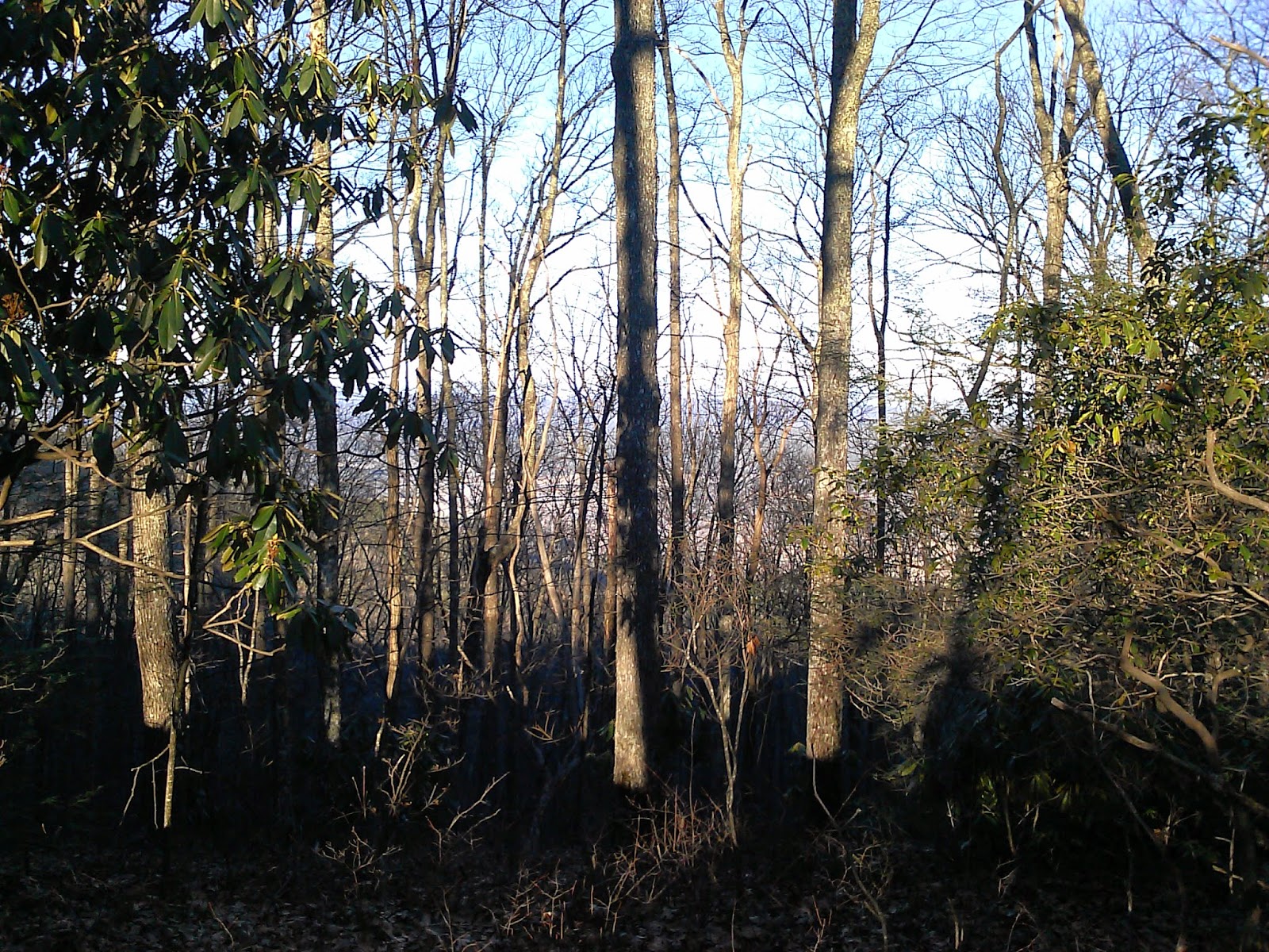
The AT was really scenic and the trail was mostly in great shape. The AT was right on the ridge, so off to one side, you could often glimpse Cades Cove, while off the other side was the Blue Mist of the North Carolina Mountains.
The hike was 7:20. My feet were pretty tired at the end, but the AT is done!


.jpg)
No comments:
Post a Comment