Saturday, August 29, 2015

Old Settlers Trail

Date: 8/29/15
Distance: 17 miles

Today's hike was with the GSHAG group.  I had an enjoyable day with old friends Conrad, Bill, Heather, Lynn, Dawn, Lori and Ahmad, and met a few new hikers: Greg, Bev, Steve, Michelle.

We started the day by taking a few cars over to the Maddron Bald Trailhead before heading to Greenbrier to start the hike.  The day was beautiful and it was relatively cool to begin.  The part of the group that wasn't shuttling cars went ahead and got a head start on the trail, so the 1st few miles passed quickly as we moved out to catch up.

About 6 miles in is campsite 33.  We used the campsite as a re-gathering point.  The trail to this point had a few ups and downs but made for pretty fast hiking.  About 4 miles in, there was a sign pointing to Greens Cemetery.  I went up for a look.  It had about 10 graves up on the top of the hill.  At campsite 33, we took a short break and an early 1/2 lunch, we moved out with instructions for the lead hikers to stop at 1:00 at a nice spot.

From this point the trail gets a little rough and overgrown.  I probably covered 4.5 miles from 11:30 to 1:00 where I stopped at a creek.  I figured I had some time, so I pulled off the boots and did a little soaking the the stream.


 The trail is very close to the edge of the park, so it was full of the remains of old homesteads with a number of falling down chimneys and rock walls.


About 10 miles down Old Settlers there is a sign which marks a spur over to the Tyson McCarter place.  It has a sign indicating the site is 140 years old.  We spent a little time at the place before backtracking the the Old Settlers Trail for the last 5 miles.


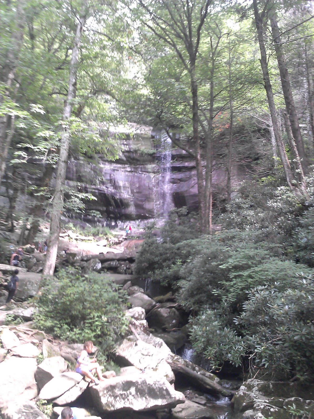
Old Settlers is a total of 15.8 miles, but you must hike an additional 1.2 miles down Maddron to reach the car.   It is at low elevation, so it was hot and even though the elevation changes are relatively tame, there were some steep sections for short distances.  There were lots of small creek crossings.  On this summer day, all were easily rock hopped.

On my 1st map, I had to hike this trail in and out from both directions, so it was nice to knock it off on a single day this time and having company on the trail made it even better.

Saturday, August 22, 2015

Forney Ridge

Date: 8/22/15
Distance: 11.2 miles

Today's hike started from the Clingmans Dome parking area.  As I drove through Newfound Gap, I was in a cloud, but up at the Dome, the sun was shining and the temperature was great.


The first part of the trail has been heavily "improved"  there are a number of rock stairs, many wood stairs and a few boardwalks in the 1st 1.7 miles down to Andrews Bald.
 

At the Bald, it was pretty cloudy as I passed by, so I just kept moving on down the trail after a few photos.


 After passing the bald, the trail is pretty rocky and difficult for about 0.5 miles, but then it smooths out nicely for the hike down to Springhouse Branch Trail.  The trail is quite steep at time, so on the way down I had a bit of dread as I knew I had to climb back up.  Much of the trail is right on a ridge. (Forney Ridge I presume)  I could imagine in the winter there would be nice views off of both sides of the trail, but in the Summer, there weren't any vistas.  There were a few huge trees.

 And a few flowers.


 At Springhouse Branch, I turned around and started climbing.  It was a tough climb back up to the Bald.   The trail lost about 2400' on the way down, so I had to gain all of it back to get to the car.

Back at the Bald, the sun was out and there were a few views.


I got on the trail about 9:00 a.m.  It was nice to start early as I enjoyed the solitude in the early morning.  I only passed 2 other hikers until I was back up at the bald.  I did pass about 40 hikers on the 1.7 miles from the Bald back to the parking lot, but it was nice to have a few folks to chat with by then.  About 1:00, I was in the car and headed for the house.  It was nearly 3:00 before I got home.


Saturday, August 15, 2015

Trillium Gap - Rainbow Falls

Date: 8/15/15
Distance: 15.5

Today's hike was with the Meetup Group.  It was a large crowd that showed up bright and early to climb a big mountain.  We started down the Trillium Gap Trail from the Rainbow Falls parking area about 8:20.

The 1st 2.3 miles are close to the Roaring Fork Motor trail, but there were very few vehicles driving the loop this morning.  After 2.3 miles the trail passes the Trillium Gap parking lot on the Roaring fork and then the trail turns away from the road toward Grotto Falls.  The entirety of this trail is climbing, so even though it was early the sweat was pouring.  Grotto Falls is cool because the trail goes behind the falls.


The trail continued on up the mountain arriving at the Brushy Mountain Trail intersection after a total of 5.2 miles.  At Brushy, we took a right turn and continued climbing.  There were some nice flowers along the trail.  This is Turtles Head (I think).


 There were also some nice Cone Flowers.

 We also found a large outcropping of Grass of Parnassus.  The pictures don't due it justice.  They are covered with very fine veins of green.


 Up at the lodge there were more flowers (Monks Hood)


Many Coneflowers and some Bee Balm.


Trillium is a total of 8.8 miles with a climb of about 3500'.


 Today was cloudy, so there was no view from the Cliff Tops.


 I did find a Doe and a couple of Fawns up near the Cliff Tops Trail


After waiting for a couple of hours at the Lodge for some more leisurely members of the group, we headed down the mountain about 1:30 on the Rainbow Falls Trail.  It is a pretty rocky and steep trail.  It is shorter than Trillium (6.7 miles).  A mile or so from the top, there is a small side spur that goes out to and overlook (Rocky Spur Overlook).  I took a few photos as the clouds had lifted a bit.


About 1/2 way down Rainbow falls Trail, the Falls made its appearance.  It was packed full of people, so I didn't hang out very long.  I was also ready for the car.


 Going to Mt Leconte is a long tough hike.  One look at the elevation graph tells the story.  The climb is >3500' and the trail is long and hard and rocky.  If you are up to it though, it is very rewarding to complete the loop.