Date: 6/7/15
Distance: 16.4 miles
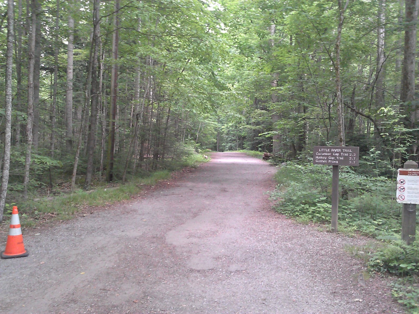
Day 3 started with an oatmeal breakfast before tearing down camp. After loading up the car, I walked over to the GSHAG breakfast that JD and friends had prepared, so I had a 2nd breakfast of eggs and sausage and bacon. After two nights of little sleep, I was moving slow and getting a headache, so I decided to hit the trail and see if I could hike it out of me. I started up the Little River Trail with the goal of marking off the Rough Creek Trail. Little River is a gravel road for most of the hike to Rough Creek (about 4.6 miles) with very little elevation gain. Rough Creek starts the big climb up the mountain to the Sugarland Mtn trail. My GPS didn't lock until I reached Sugarland, but it was 4500' and the Little River Trail starts at less than 2500.
Rough Creek follows a creek most of the way up the mountain with a few small creek crossings on this day, but water levels were very low in the park. I think the 1st crossing could be more difficult if water is high.
About 2/3rds of the way up, there was a major blowdown that I had to crawl through. There were several spots along the trail that the vegetation along the side was encroaching on the trail making it hard to see where you were putting your feet.
After lots of sweating on this hot day, I finally reach the Sugarland Mtn trail and got a good view of the Chimney tops in the distance.
Instead of backtracking, I turned left on Sugarland Mountain and started my hike back towards Elkmont. Sugarland Mountain was a nice trail with several nice views.
After 4.1 miles on Sugarland Mountain, I turned left on Husky gap. I had recalled that Husky Gap was straight down to Little River, but it actually had a few small climbs as it made its way down. One especially beautiful spot was on Husky Gap. The forest floor was just covered with ferns.
The 2.1 miles on Husky Gap seemed longer than 2.1 as I was starting to get tired, but eventually I got back to Little River and turned right toward the car. The final 2.8 miles on Little River seemed long as well. I find that very flat trails aren't to my liking. I'd rather have some ups and downs. The Little River Trail is very flat in this section.
I did see a few nice flowers on the way back.
These are a few shots of where we stood to watch the fireflies the 1st night. Because it was so dark, we had no idea what was in the area.
Pretty tough hike after 2 nights of poor sleep. I was so tired on the drive home that I broke my > 1 year of abstinence and stopped for a Mountain Dew on the way home. Fortunately I managed to stay awake for the ride home.