Monday, June 30, 2014

Gregory Bald Trail

Date:  6/28/14
Distance: 14.6 miles
New Map Miles: 6.1
Total Map Miles: 412.5

Today I set out to hike the Gregory Bald Trail all of the way to the AT.  The new miles for me were from the Parsons Branch Road to the Wolf Ridge intersection and then the 2 miles from the Long Hungry Ridge Trail out to the AT.

I dropped off my son at the airport at 11:40 and then headed for Cades Cove.  It was an omen for the day when I drove through a pouring rain to get to Cades Cove.  At the Cove, I was reminded of why I hate the loop road.  The drive on the loop was very frustrating.  I should have saved this hike for a weekday!  I was happy to get to the Parsons Branch Road because I got out of all of that traffic.  The road was in decent shape with some very pretty rhododendron along the way.  I finally got on the trail at 1:34.

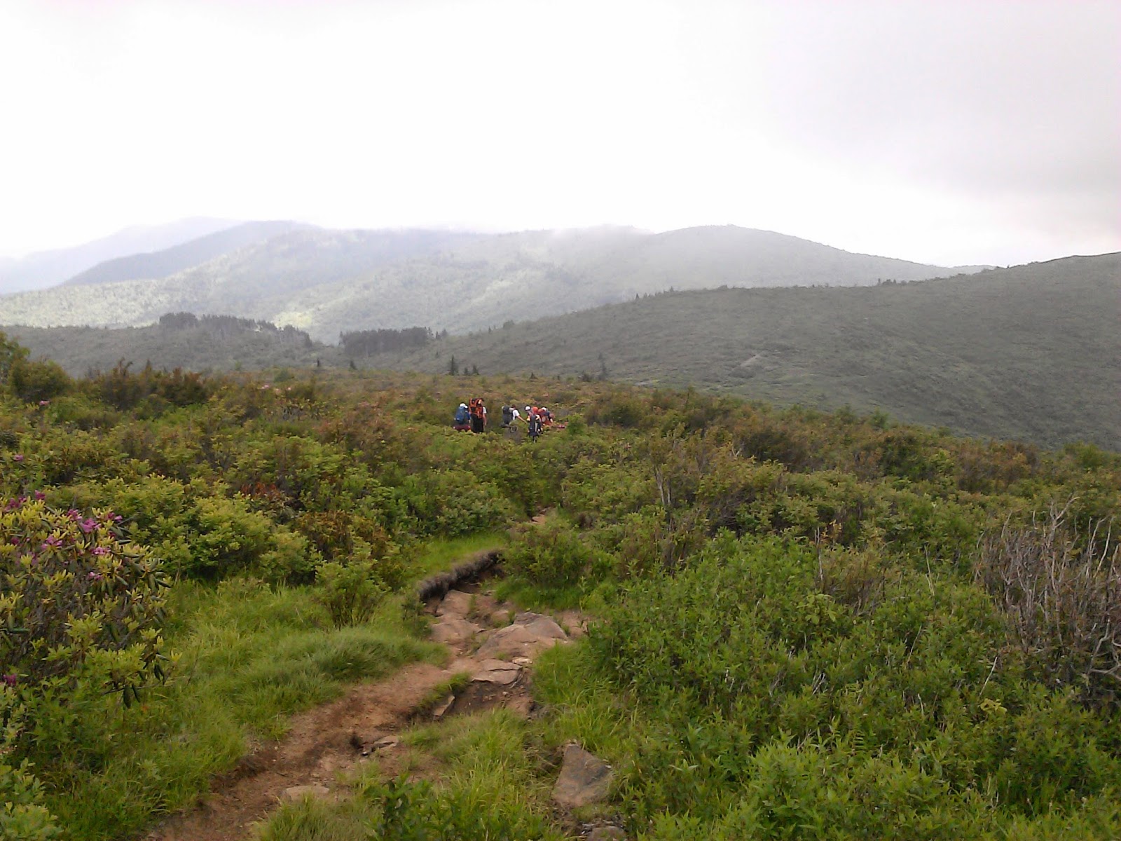
I had seen on the web that the trail wasn't in great shape, so I was expecting the worst.  I was pleasantly surprised that the 1st few miles were pretty nice even though it was raining pretty hard on a couple of occasions.  The last miles though were much worse than expected.  The trail was very muddy.  I had to hike on the edge of the trail and often slid back an inch or two on each step up the mountain.


At 4.1 miles on the map, but only 4 on the sign, I reached the Wolf Ridge Intersection.  I turned left and headed for Gregory Bald.  The trail wasn't much better on this 0.5 miles to the bald.


Most of the azaleas had already lost their blooms on the bald, but there were a few nice blooms left.


I went straight over the bald and headed down the other side toward the AT.  At a bit over 3 hours of hiking I reached the end of the Gregory Bald Trail.  The 2 miles out to the AT were in much better condition than the hike up the mountain.   At the AT I turned around and headed for the car.


 I was pretty tired at the end of the hike with a pretty sore knee.  Fighting the mud made this hike more difficult than expected.

Monday, June 9, 2014

Shining Rock Backpack

Date: 6/7/14 - 6/9/14
Distance: ~17mi

This weekend I was the tag along Dad on a backpack trip with my son and his friends in the Shining Rock Wilderness in Western North Carolina.

We parked on the side of the road half way down the Black Balsam Knob Road which is off of the Blue Ridge Parkway.  The trail was the "Art Loeb" Trail.  This is a fine group of men who accompanied me on the hike.

The trail goes up and over about 3 large balds.  My normal view was from in the back as youth won out over experience on this hike.


 We camped about 0.5 miles short of Shining Rock about 4 miles total.  The campsite was off of the trial by a few hundred yards up in a small grassy area.  It wasn't easy to find, but the Scouts on the trip had been here previously.


After setting up camp, we headed out to Shining Rock to check out the view.  Shining Rock is a large white rock outcropping.


The Clouds moved in and we headed back to camp for dinner under the rain fly.  The 1st night saw a fair amount of rain.  The high elevation (5800')  meant that it was pretty cool overnight.


The next morning the sun was shining, so the boys headed out to Shining Rock again.  I was going to hike a 6 mile loop off to the right of the trail, but I couldn't find it.  So I opted to continue out the Art Loeb trail after dropping by Shining Rock for a couple of photos.


 Along the trail were some nice flowers and views.


 The trail got pretty rocky and difficult after 2.5 miles.  I didn't have a good map, so I opted to turn back toward camp.


At camp, I dumped the pack and took some water and walked back toward the car on a different trail than the day before.  I ended up circling around the last bald we crossed on the way to camp.  I came back to camp on the jeep road.  After dinner, we headed out to Shining Rock for the sunset.


We packed up the next morning and headed out early.  Matt knew how to get down the Jeep road from the gap near camp and we hiked out on the Jeep road.  It was fairly level, but wasn't as enjoyable as the hike over the balds on the way in.  The trail ended on the road and there was about a 1 mile walk back to the car on the road. 

Awesome weekend with some excellent young men.