Date: 3/25/16
Distance: 18.7
My Good Friday hike this year was a really long, hard, but enjoyable loop hike in the Cosby area of the park. I started the day by hiking the first 4.6 miles of Snake Den Ridge Trail leaving from the Cosby Campground. It took a bit of a walk and a little searching to locate the trail, but after about 10 minutes and 1/2 mile, I found it and headed up the trail. Today I walked in the clouds for much of the day.
Snake Den climbs about 3000' in its 4.6 miles, so it was no easy start to the day. About the time I reached Maddron Bald Trail, the sun started peeking out.
I turned right on Maddron Bald Trail and started descending.
There were a few nice views through the trees.
The bald was covered with bushes, which gave a few more views of the surrounding mountains.
The Sun was nice, but didn't last long. About 1 mile down the trail, I was back in the clouds.
Maddron had a little bit of everything. There were places that the trail was quite nice. Others were very rocky. It did have 3 or 4 decent size creek crossings. I hopped them all, but it took a little work.
The foggy day made the trail a little spooky.
4 miles down the trail is the Albright Grove Loop. The Loop is 0.7 miles long and passes by some large trees. The trail goes up and over several small ridges as it twists and turns on the side of the mountain.
Albright returns to Maddron Bald 0.3 miles below where it started. I walked back up the hill to where I left Maddron and then turned around and hiked another 2 miles to Gabe Mountain Trail. The lower portion of the trail had bridges over the creek, so the hiking was pretty easy.
Maddron lost about 3000' over its 6 miles.
I turned right on Gabes Mountain Trail for the final 6.6 miles back to the car. Gabes gains and loses about 1000', so it did require some exertion. 4.4 miles down the trail is the spur down to Henwallow Falls. The trail to the falls is pretty steep as it makes its way down to the falls and is maybe 0.2 miles long.
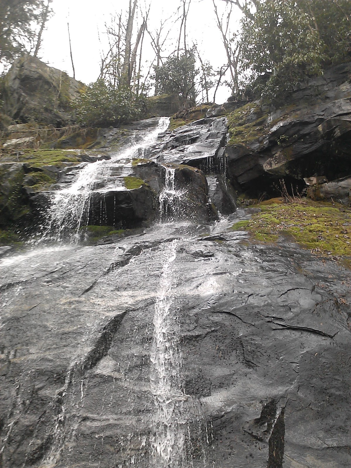
The falls is rather tall and doesn't have much water flow, but it is quite beautiful.
After a few minutes at the falls, I climbed back up to Gabes Mountain and hustled down the trail for the last 2.2 miles.
This loop hike is very long and strenuous, but it is a really good way to mark off this group of trails with only one trip to the mountains.
The GPS had a hard time locking, so no elevation data today.