Date: 2/20/16
Distance: 18.7
I had hiked everything in the Cades Cove area for my 2nd lap of the map except for Hannah Mountain from Rabbit Creek to Parson's Branch Rd. Winter isn't the best time to go hike this trail, because the Parson's Branch road is closed, but I hate driving Parson's Branch anyway, so I figured I might as well go hike it today.
I had considered using my bike to cover the distance up to Hannah and then hiking in and out and riding back down, but my bike isn't great on the gravel and who knows what kind of condition the road is in. I also thought about starting at Abrams Campground and just going in and out, but the bridge on Rabbit Creek is out and I was worried about how deep the creek would be.
In the end I decided to make a big long loop hike with 6 miles of road hiking to hike to the trail. I started the day with a slow drive around the Cades Cove Loop road. It took about 25 minutes to get to the Abrams Falls parking area. I parked there and walked down the loop road about 1 mile to the Visitor Center where I continued straight on the gravel road (Forge Creek Rd) which goes to the Gregory Ridge Trailhead. This road was closed as well. I wasn't aware that it closes for the winter, but it was closed today.
There is a nice cabin on this road.
After 3 total miles, I arrived at Parson's Branch Rd.
It had some impressive erosion and potholes this time of year.
After 3 miles on Parsons Branch, I FINALLY arrived at Hannah Mtn Trail. I was sick and tired of road walking. If felt great to finally get to the trail. The elevation of the trailhead was about 2800'. Abrams Falls parking area is about 1700, so there was a bit over 1000' of climbing on the road. It felt worse than that.
Hannah is a lovely trail. It was mostly flat for most of the 1st 1/2 to Rabbit Creek. The trail then drops about 800' over 1 mile before it is mostly flat again.
The trail spends most of its time near the top of the ridge. There aren't any great views although if the weather had been better, there would have been some nice mountain views through the trees.
There was 1 huge tree along the side of the trail.
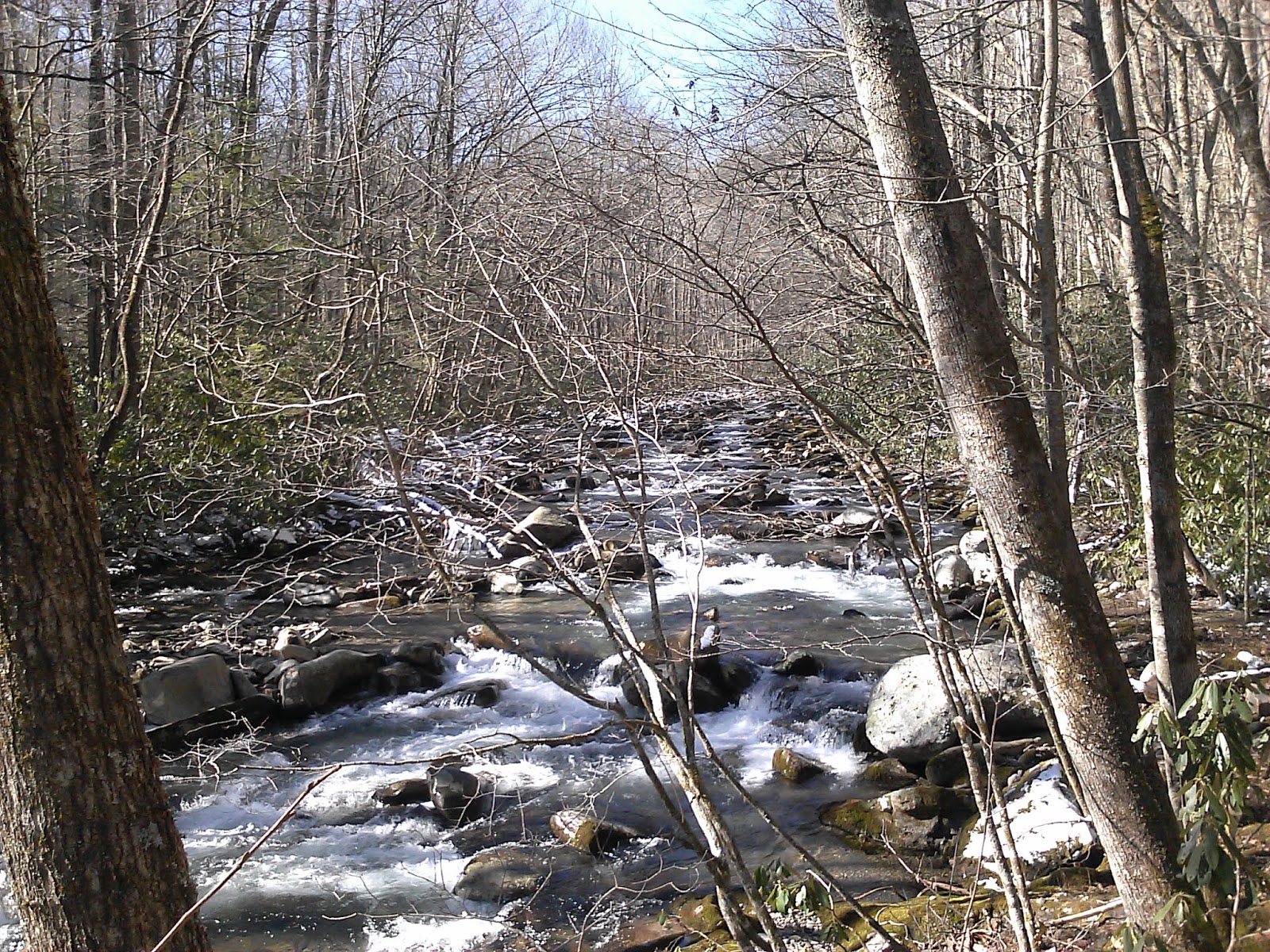
After 7.6 miles on Hannah, I arrived at the Rabbit Creek trail where I turned right for the 5.1 mile walk back to the car. Rabbit isn't a great trail for the 1st mile. It is rocky and rather steep as it loses 700' down the creek. There is no bridge over the creek, so I shucked off the boots and walked across the creek in a spare pair of socks that I brought along. I felt like I had much better traction wearing the socks, than when I just go barefoot. The water was terribly cold. My feet were aching.
Rabbit gets a little better after crossing the creek, but there are still spots where the trail is full of rocks and water.
Right at the end of Rabbit Creek, there is one more creek crossing. This time I didn't wear the socks and it was super slippery. I was wishing that I had put them on.
Rabbit had a good sized climb after the 1st creek crossing and then a nice little downhill portion to the Abrams Falls parking area.
It was nice to get back in the woods today even though the weather was a little dreary.