Distance: 19.4
New Map Miles: 13.4
Total Map Miles: 663.7
Today was a VERY challenging hike from Fontana to Cades Cove. My companions on this day were Bill and Russ. We met at Food Lion in Maryville at 6 am and Russ drove to Fontana Marina. We arrived about 7:20. There was a nice restroom near the parking area. The marina personnel arrived about 7:45 and a bit before 8:00 we set sail for Ollie's Cove. We arrived at Ollie's about 8:20 where the fun began.


Hazel Creek is an old road that was very wide and smooth and very easy to hike with just a slight rise in elevation. The trail hugged the creek with several bridges that crossed back and forth.


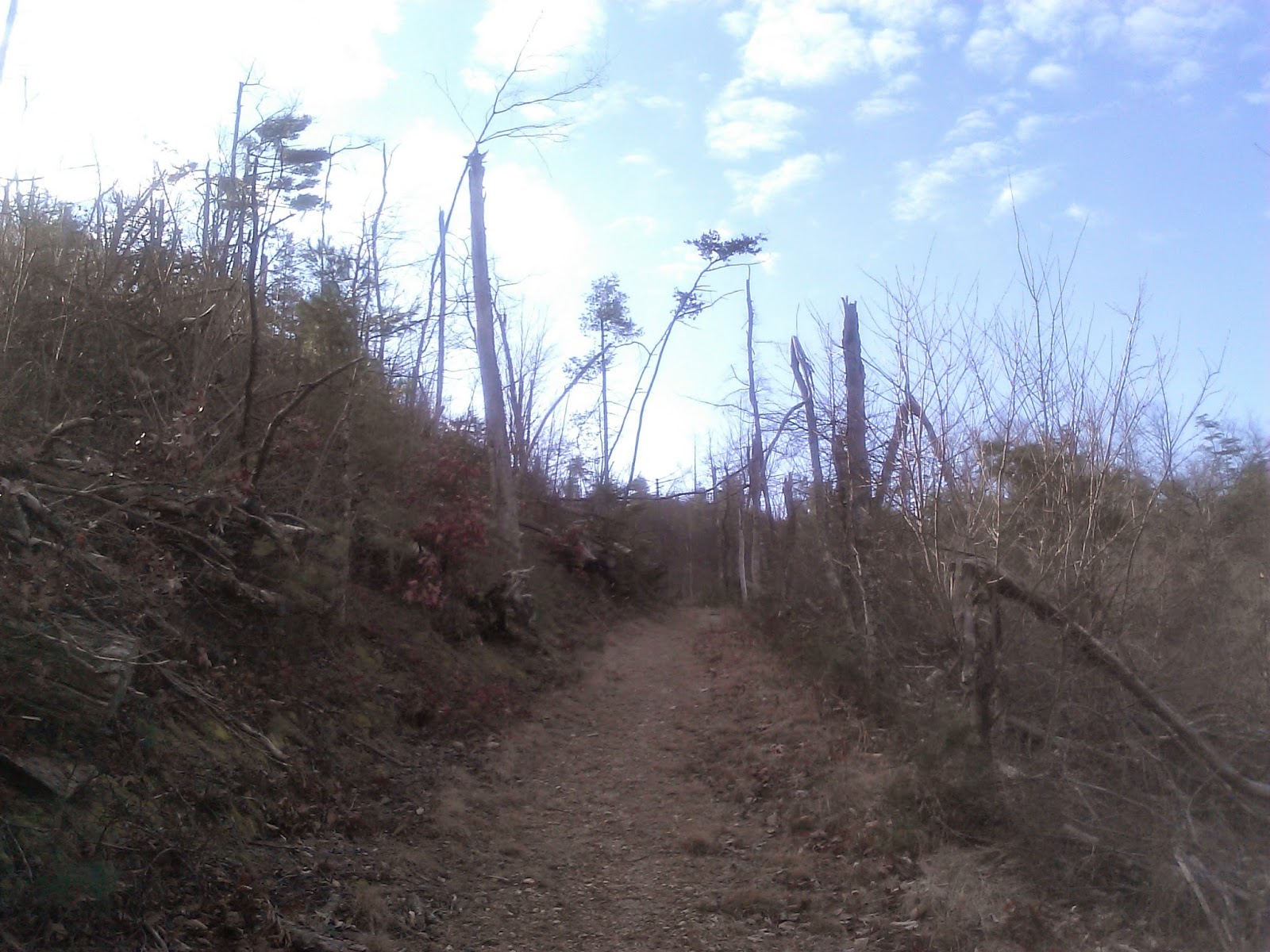
The 1st 2.4 miles of Jenkins was still on the old road and while it had more climbing, it was still relatively easy hiking. At 2.4 miles, all of that changed! The trail turned straight up the mountain at a very steep slope. We all agreed that this was some of the toughest hiking we had every done.
After a couple of miles, the snow also made an appearance.


After about 6 miles of very steep trail, we went over a ridge and lost about 500' as the trail circled around to the base of Thunderhead. The snow was very deep at this point (8-10") which made it very enjoyable on the downhill sections. I can believe this trail is miserable in the spring and summer as it appeared to have places that would be very overgrown.


About 1.5 miles from the end of Jenkins, we crossed a few creeks and then started the climb up to Spence Field. This trail just keeps on giving! The climb was tough this late in the day.


About 0.3 miles down the AT, we turned on Bote Mountain to head down the mountain. The snow was deep which made Bote Mountain more pleasant that I've ever seen it. The snow hid the rocks and made for easy hiking/sliding down the mountain.
After 2.9 miles, we turned on Lead Cove for 1.8 miles to the road. We exited at 3:45 after hiking for 7:20. Our pace was 2.6 mph on what we judged to be the most difficult hike that we've every been on. A very challenging day but very rewarding.
.jpg)


.jpg)