Date: 5/13/15
Distance: 17.2
Today I did a key swap hike with the GSHAG meetup group. We met at Food Lion at 7:00am and traded cars. I went with JD, Jenn, Steven, and Teresa to the Gold Mine Trail while the rest of the group took a car to Rich Mountain where the Ace Gap trail terminates. The Gold Mine trail comes very close to the Top of the World Estates. JD knew where to park and where to hike into the park. We parked directly across the road from the trail on Steffner Circle.
We started on the access trail for about 0.25 miles before we reached the Gold Mine Trail. Gold Mine drops elevation quickly for about 0.8 miles before terminating on Cooper Road. We turned left on Cooper and walked 0.4 easy miles to Cane Creek Trail. On this section of the trail, there was some very nice Mountain Laurel and a few Pink Lady Slippers.
Cane Creek isn't the most fun to hike. It is an old road that goes through a bunch of mushy areas and has many creek crossings. There is a Cemetery on the trail which his probably the only reason this trail exists.
2.1 miles down the trail, you arrive at a Posted sign, where we turned around and headed back to Cooper Road.
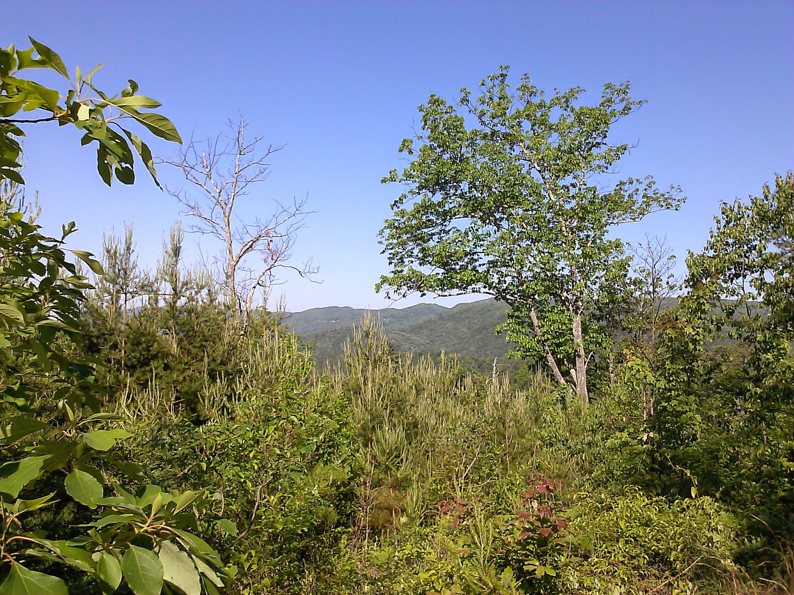
Back on Cooper, we once again turned left and hiked 1.8 miles out to Beard Cane. There were a few spots with a few views on this section.
Beard Cane is a pretty awful trail. It passes through a valley that was torn up by the tornadoes a few years ago. Today it was really overgrown with lots of briers and grass. Jenn saw a snake in the grass that was a bit scary as well.
Campsite 11 is now closed, but it was invisible due to the growth in the damaged area.
Beard Cane also had many small creek crossings. At times the trail and the creek became one as well.
On this day, we rock hopped them all. No boot removal was necessary. The last time I hiked this trail, we had to wade this crossing.
Beard eventually improved as it climbed up to Ace Gap. After 4.2 miles, Beard Cane arrived at Ace Gap. At Ace Gap, we turned right (the only way to stay in the park) and headed for the car. Ace Gap had lots of Mountain Laurel, a few Flame Azaleas and a number of other wildflowers that JD recognized.
Ace Gap was 5.6 miles. The elevation graph looks as if it is rolling, but it felt like we went up more than down.
This set of trails are only trails that a Map Marker can appreciate, but it was still super nice to get out in the woods and go a long way.
Mileage Summary
Access to Goldmine Trail .25
Goldmine .8
Cooper Road .4
Cane Creek 2.1 Out and Back (OAB) = 4.2 miles optional
Cooper Road 1.8
Beard Cane 4.2
Ace Gap 5.6
Total with Cane Creek OAB 17.25




.jpg)


