Showing posts with label Cold Springs. Show all posts

Monday, April 25, 2016

Backpack - AT - Welch Ridge - Cold Springs - Hazel Creek - Bone Valley

Date: 4/24/16 - 4/25/16
Distance Day 1: 20.7
Distance Day 2: 15.7

On this two day hike, the climbs were extreme, the views were amazing and the flowers were beautiful.  I started the backpack solo leaving Clingmans Dome on the Bypass trail.  At the Appalachian Trail, I turned left heading for Welch Ridge.

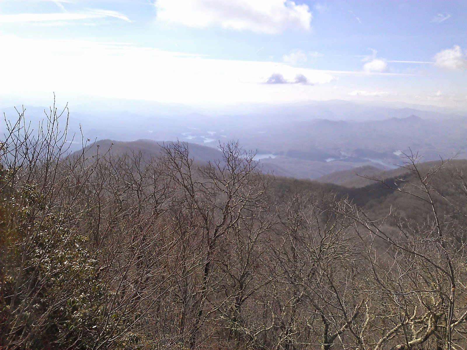
The views were just great on this very clear day.


 The wildflowers up on the AT were very lovely.  The Spring Beauties were creating a carpet of white.

 There were also a number of Trout Lily


 After 3.8 miles on the AT, I turned left on Welch Ridge.  There were some Dutchman's Britches on this section.


 I decided to take the 0.4 mile spur out to High Rocks for more awesome views.


 After 7.2 miles on Welch Ridge, I turned onto Cold Springs (the only way you can go).  Cold Springs had lots of Trillium and lots of nasty trail.  It drops steeply down the mountain over 3.5 miles.


 Near the end of Cold Springs is a large Creek Crossing.
 Cold Springs dead ends at Hazel Creek Trail where I turned left and walked 1.3 miles to campsite 83 at Bone Valley.

After setting up the tent, I hiked the 1.8 mile spur out to Bone Valley where a nice cabin sits.


This hike had lots of downhill but a surprising amount of climbing to go with it.  The Elevation profile doesn't give it justice as the climb up Welch was very taxing.
 
Back at Camp, I met up with JD, Chris and Lance who had hiked in from Fontana Lake.  We enjoyed a nice evening in camp.  The next morning I packed up and they donned day packs for the big climb up Hazel Creek.

Hazel Creek climbs about 2500' over 9.4 miles back up the mountain where it intersects with Welch Ridge.  The trail is dominated by stream crossings and a very steep section near the end.

The Water crossings aren't easy to rock hop although we hopped them all.  I managed to put both boots in the water at different times and had to hike out with wet socks.


 There were more nice wildflowers on the way up.


These painted Trillium were quite nice.
 There is also a small waterfall about 1.5 miles from the end.
 At the top of Hazel, I said so long to the guys as they were headed back down Welch and Cold Springs to Camp.  I was hiking back up to Clingmans Dome.  The climb to the Dome was tough with a heavy pack.  The trail was just a pretty as the day before though.


 I decided to go the tower and hike back down the paved trail to finish it off.


 The climb today was just crazy steep.  The elevation change was more than 4000' from camp to the dome with several ups and downs on the way which pushed the climbing to even higher levels.  It was a tough day, but nice to get Hazel, Cold Springs and Welch marked off on Map 2.


Monday, April 6, 2015

Cold Spring - High Rocks - Bear Creek - Forney Creek - Whiteoak Branch - Lakeshore (Day 2 of Backpack)

Date: 4/4/15
Distance: 15.7
New Map Miles: 3.8
Total Map Miles: 800.8  DONE!

I crawled out of the tent about 7:00am not having had much sleep, but anxious to get going on the 2nd day of my map finishing backpack.  I loaded up on oatmeal and we broke camp hitting the trail about 8:15.  The day was pretty cold.  I'm estimating it was less than 40.  We knew there was a creek crossing 1st thing on Cold Springs, so we headed down the trail with some worry and dread as we expected the water to be high and fast and cold.  The crossing met our expectations.


I had heard lots of bad things about Cold Springs, so I was expecting the worse.  It has lots of water crossings, but all except the 1st we rock hopped.  It also had lots of rocks and many mucky spots.  At times the trail and the creek become one and it is a big climb (~2500ft).


I hadn't planned to finish my map with such a challenge, but in the end it felt right.  The challenging hikes are the most rewarding and in some ways my favorites.  That said, I was pretty happy when we reached to top of Cold Springs and were greeted with some views through the trees.


At this point the trail turns to the left and the name changes to Welch Ridge.  This was still new trail for the next 0.5 miles up to the High Rock Trail.  It was relatively steep steady climb up to the High Rock Trail, but I was pumped up knowing it was the end of the journey.  At the High Rock Sign, my Map was DONE.


I ditched the pack and jogged out to High Rocks for a few glorious views of the valley below.


 I expect others have finished the map in more remote locations, but I'd guess not many.  When I got back to my pack, we had to hike more than 10 miles to get out of the park no matter which way we went.  Our hike took us down Bear Creek.  Bear Creek is a pretty nice trail in the beginning with some nice views from the ridge.  It loses lots of elevation and eventually turns into a road.  It did feel really long today as the pack was beginning to wear on me.

Russ needed the bottom 1.1 miles of Forney Creek, so we turned left at that trail and then turned right at Whiteoak.  At the time the climb up Forney and Whiteoak seemed horrible.  It is a little funny to see the tiny bump on the elevation plot below.

At Lakeshore, we took a left and exited through the Tunnel to Nowhere.  Russ's Mom and Wife were super nice to come pick us up and shuttle us back to Clingmans Dome where my car was waiting.