Date: 12/26/15
Distance: 17.6 miles
Back on Black Friday, I had planned to hike Rabbit Creek and Hannah Mountain, but on arrival at the trail I found some friends and changed my plans. Today on the day after Christmas, I decided to go mark these trails again, but after walking the 1st 0.25 miles on Rabbit I found that the bridge over Abrams Creek was missing and the water was very fast and high. We had lots of rain the last couple days. Some reports were 7" in the Smokies. I returned to the car and drove to Twentymile instead.
I finally got started about 11:00 on Twentymile Trail. It is an old road that has relatively mild elevation gain for the 1st 3 miles and then rather steep for the next 2. It has very large substantial bridges that cross the creek several times.
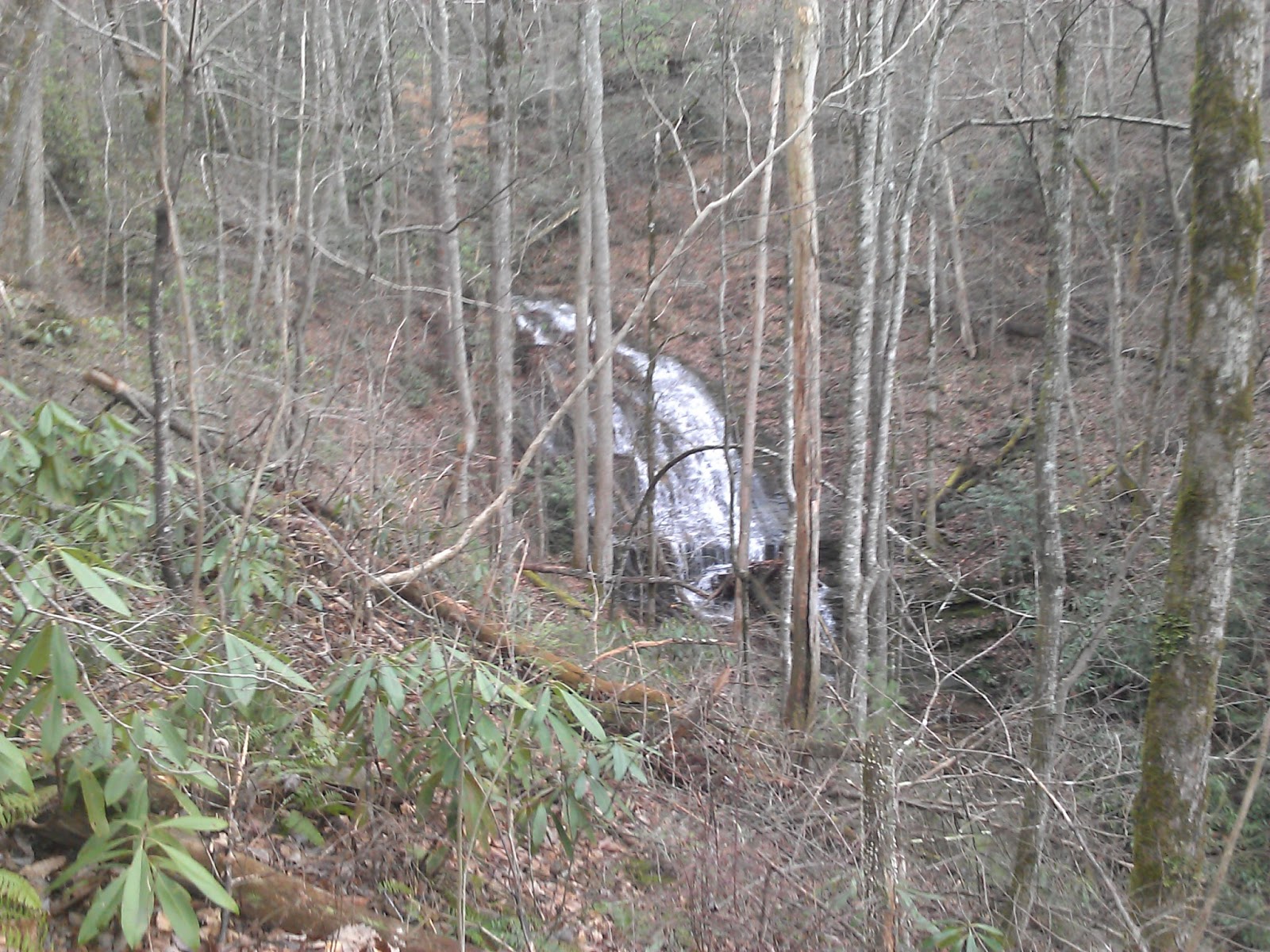
There was one spot where there was what is normally a stream which I had to wade. It was only about shin deep, but I couldn't find a place to rock hop it.
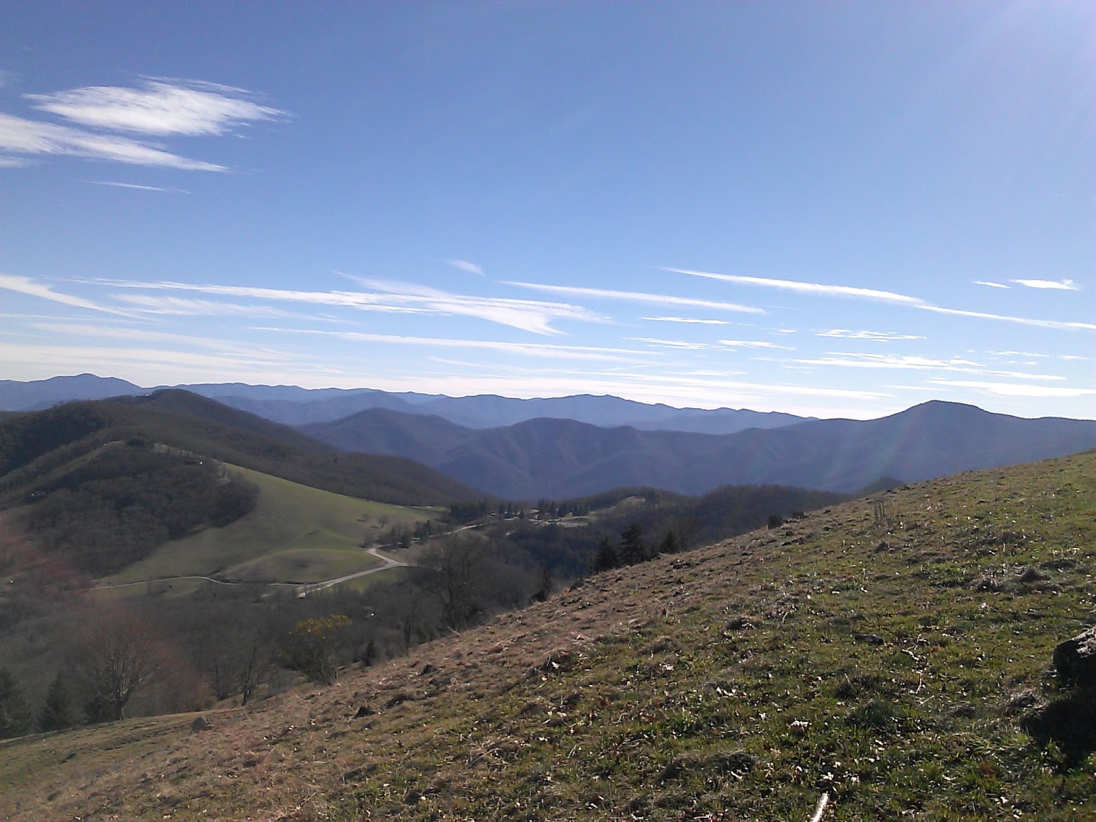
You can see the Shuckstack fire tower up on the ridge as you start getting close to the end of Twentymile.
After a climb of about 2500', the trail hits the AT. I turned left to hike up to Doe Knob.
The hike to Doe Knob is about 3 miles and climbs another 1000'. Being the At, the trail spends time on the ridge and there are a few nice views through the trees.
At Doe Knob, I turned around and retraced my path for 5 miles where the Twentymile Loop trail starts.
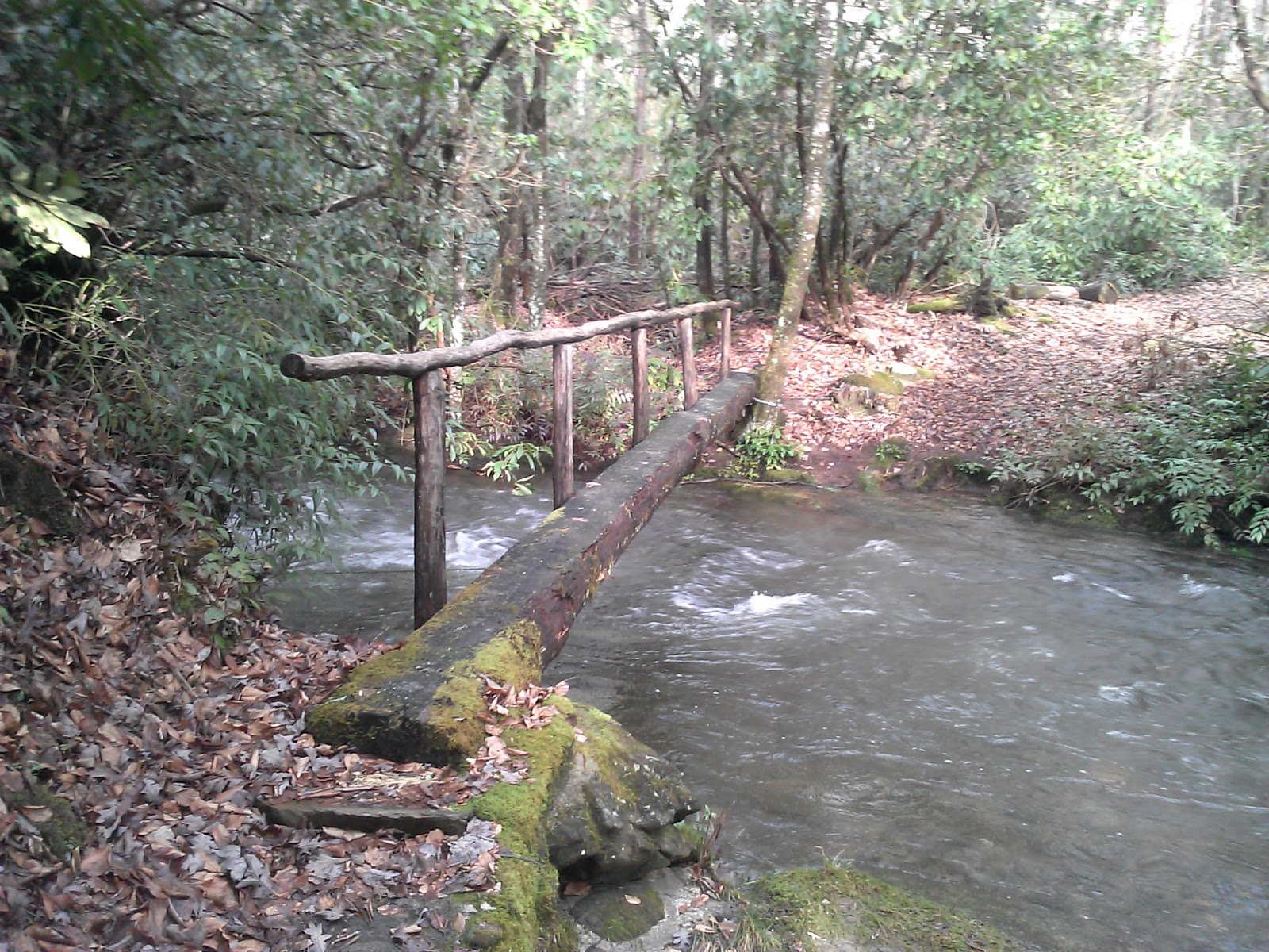
The Twentymile loop trail is a single track trail that is common in the Smokies. I wasn't far down the trail before I heard rushing water and started worrying that there could be another bridge out, so I was happy to find a bridge at the 1st creek crossing.
The 2nd didn't disappoint either.
There were a couple of crossings without bridges, that are probably easy when the weather hasn't been extreme. I found a couple of downed branches that I tossed in the creek and then used to cross.
Twentymile loop climbed about 600' before losing all of it and more before it hit Wolf Ridge. Twentymile loop is 2.9 miles in length.
At Wolf Ridge, I turned left and hiked it the 1.1 miles to Twentymile. It had several crossings with footbridges as well. At each one, I had a bit of anxiousness that the bridge would be missing and I'd have to weigh the merits of attempting a crossing vs hiking 7 miles to go back the way I came. Fortunately each time the bridge was there.
Once back at twentymile, there was only 0.5 miles back to the car.
I finished up a nice day in the park about 5:00 and was home by 6:40.