Distance: 17.4 miles
Today's hike was a strenuous trek from the Clingmons Dome Road down to Deep Creek and back on the Fork Ridge Trail.
Fork Ridge is the 1st trail that leaves on the North Carolina side of the Clingmons Dome road. The parking lot was packed today, but I only saw 2 other hikers on the trail. I think most of the cars in the lot were for people hanging out at the Mt Collins shelter on the AT.
Fork Ridge is a trail that only a Map Marker could love. It begins in a ditch and pretty much has issues over most of its 5.1 miles. For starters, it is steep losing 2800 feet. Up at high elevations, the trail makes its way through a forest of ferns and moss and what is left of the Hemlock trees. Much of this top section is a little rocky and there are a number of trees laying in the trail.

As the trail descends, it spends some time along a ridge which allowed views out through the trees.


Most of the trail is right on the side of a mountain though and the trail is often very skinny and tilted so that it is hard to keep from sliding down the mountain. At the lower elevations, the trail was covered with lots of leaves which were surprisingly slippery even though they were dry. Twice I slid to the ground as one of my feet tried to go off the side of the trail and down the mountain.
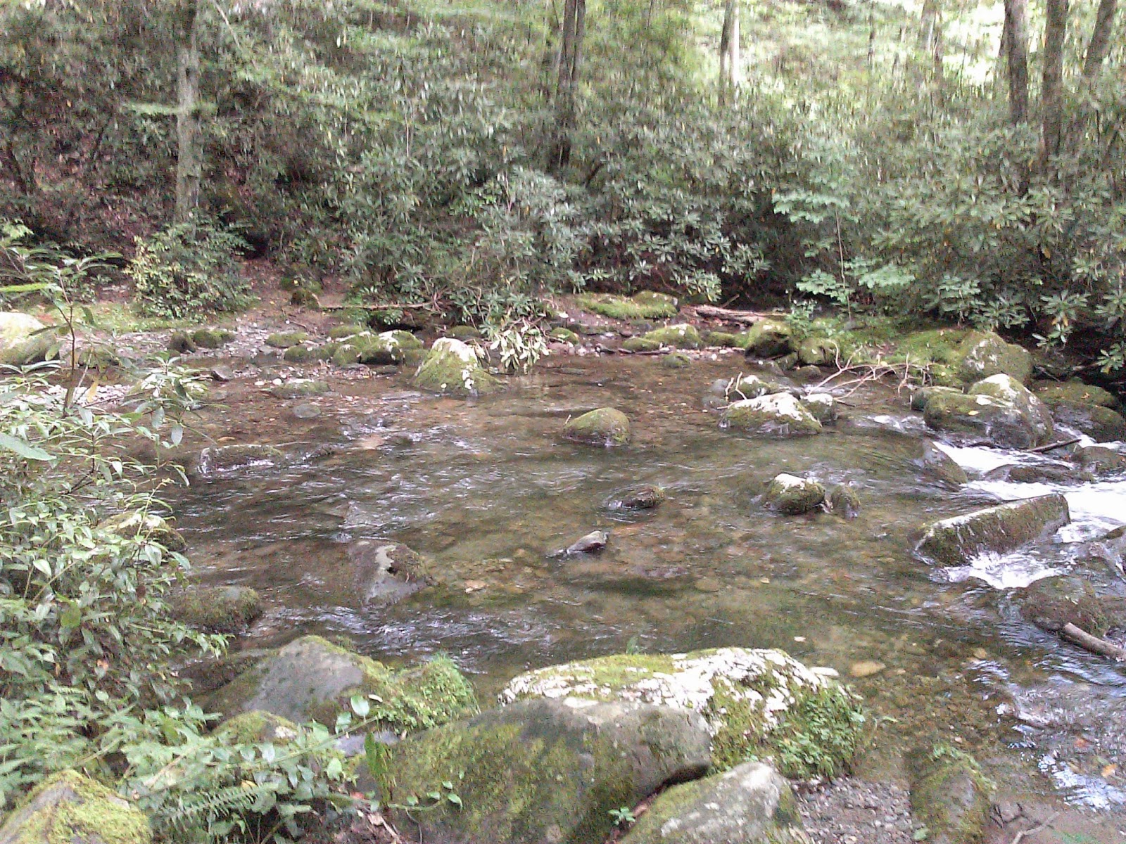
Right at the end of the trail, there was a substantial creek crossing. Last time I hiked this trail, I had to wade, but today I managed to rock hop. Just over the creek, Fork Ridge hits the Deep Creek Trail. Since I was feeling good, I decided to hike the section of Deep Creek between Fork Ridge and Pole Road, so I turned right and hustled on down the trail.
Deep Creek spends most of its time right along the edge of the creek. The trail has large sections that are easy to hike and very pleasant, and others where the trail is very rocky or eroded or both. There are also a couple of creek crossings which weren't too exciting but did take some effort to traverse.
In one section of the trail, the trail is right on the edge of the creek as it makes its way down a gorge. The trail was really rocky in this section.

 Deep Creek descends about 600' over its 3.6 miles, so the hiking was relatively easy.
After 2 hours and 45 minutes and 8.7 miles, I reached the Pole Road Trail which has a nice bridge over Deep Creek.


The climb up Fork Ridge was tough. I really have a hard time with hikes that finish with a big climb.