Distance: ~15
New Map Miles: 10.4
Total Map Miles: 513
Today I hiked with the GSHAG meetup group to Mt LeConte. The day started by meeting at the NFG parking lot and then shuttling down to Alum Cave. It was raining at the start, but shortly the rain stopped.
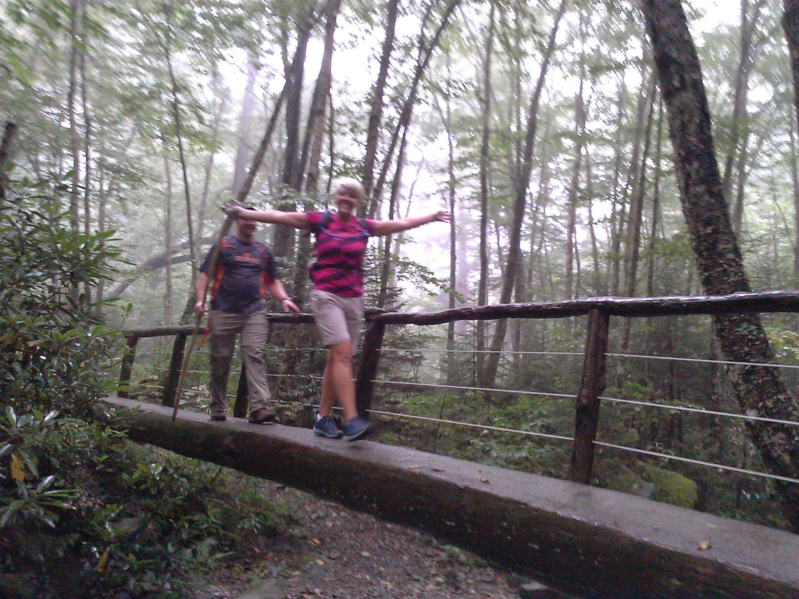
The climb to Alum Cave includes a few stream crossings with bridges.
The hike on up to the Lodge was a bit steep and there were several locations with cables to keep you from falling off the side, but the trail was pretty good.
It cleared off a bit while we relaxed on the rocks.
Greg and John exchanged a few phone tips and then we headed on out the Boulevard trail.
Over at Myrtle Point, there was more fog.
While waiting on a few hikers, we took the side trail over to the Jump off. Still not many views, but the sun did come out for a few minutes.
Back at NFG it was still raining. Good group of hikers on this day made the foggy day enjoyable. (Tim, Greg, Eddie, Jennifer, Lori, Florence, Jon, Carol, Sara)


No comments:
Post a Comment