Distance: 13.2 miles
Bears: 1
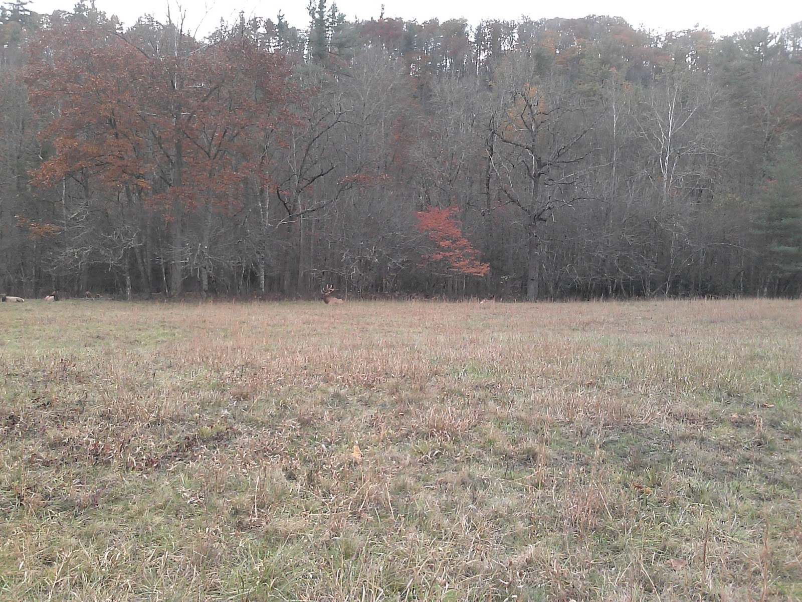
Couldn't think of a better day to go hike Boogerman Trail than on Halloween, so I left the house bright and early (6:25) for Cataloochee for a nice day of hiking. I last did this hike on December 14, 2014, at that time two bridges were out and I had to wade, so I was curious as to how much wading I would do today.
I hit the trail about 8:30 and thankfully the 1st bridge was there. The first 0.8 miles on Caldwell Fork passed quickly as the trail was smooth. Unfortunately, the 2nd bridge was missing as before, so I shed the boots and waded in the very cold water.
Just on the other side, the Boogerman Trail leaves off to the left. Today, I took the turn and did Boogerman before the rest of Caldwell Fork. Boogerman was in great shape for most of its 4 miles. It does climb a bit (about 1000') and at the very peak, it is very steep for a few tenths of a mile.
There were still a few colorful trees, but not near as many as last weekend.


Boogerman ends once again on Caldwell Fork. I turned left and walked the 0.5 miles over to McKee Branch Trail where I once again turned left to hike up the mountain.
McKee is steep! It gains 1800' in only 2.3 miles. Both times I've hiked it, it has kicked my butt. It starts as a ditch, so the trail is full of rocks for the first 1/2. Eventually, it improves, but is steep the whole way. After 2.3 miles of struggle, I arrived at the Cataloochee Divide trail at an elevation of 4800'

I then backtracked down McKee back to Caldwell Fork. I turned right to head back toward the car. This time I bypassed the Boogerman Trail and remained on Caldwell Fork for the 3.2 miles (from McKee) back to the car.
The most interesting feature of Caldwell is the large number of footbridges, many of which are a little suspect. This is the 1st one which was just past the Boogerman Trail.

Bridge 2 was OK.


Bridge 5 was just a log.


Bridge 7 was a lovely large wide bridge.


Bridge 9 was very high and long.


Bridge 11 was gone, so more wading.


Bridge 13 was a little busted.


Bridge 15 was the final bridge and I was back at the car.


Nice Halloween in the woods and I was home in time to trick or treat!

No comments:
Post a Comment