Distance: 6.6 miles
New Map Miles: 3.3
Total Map Miles: 466.3
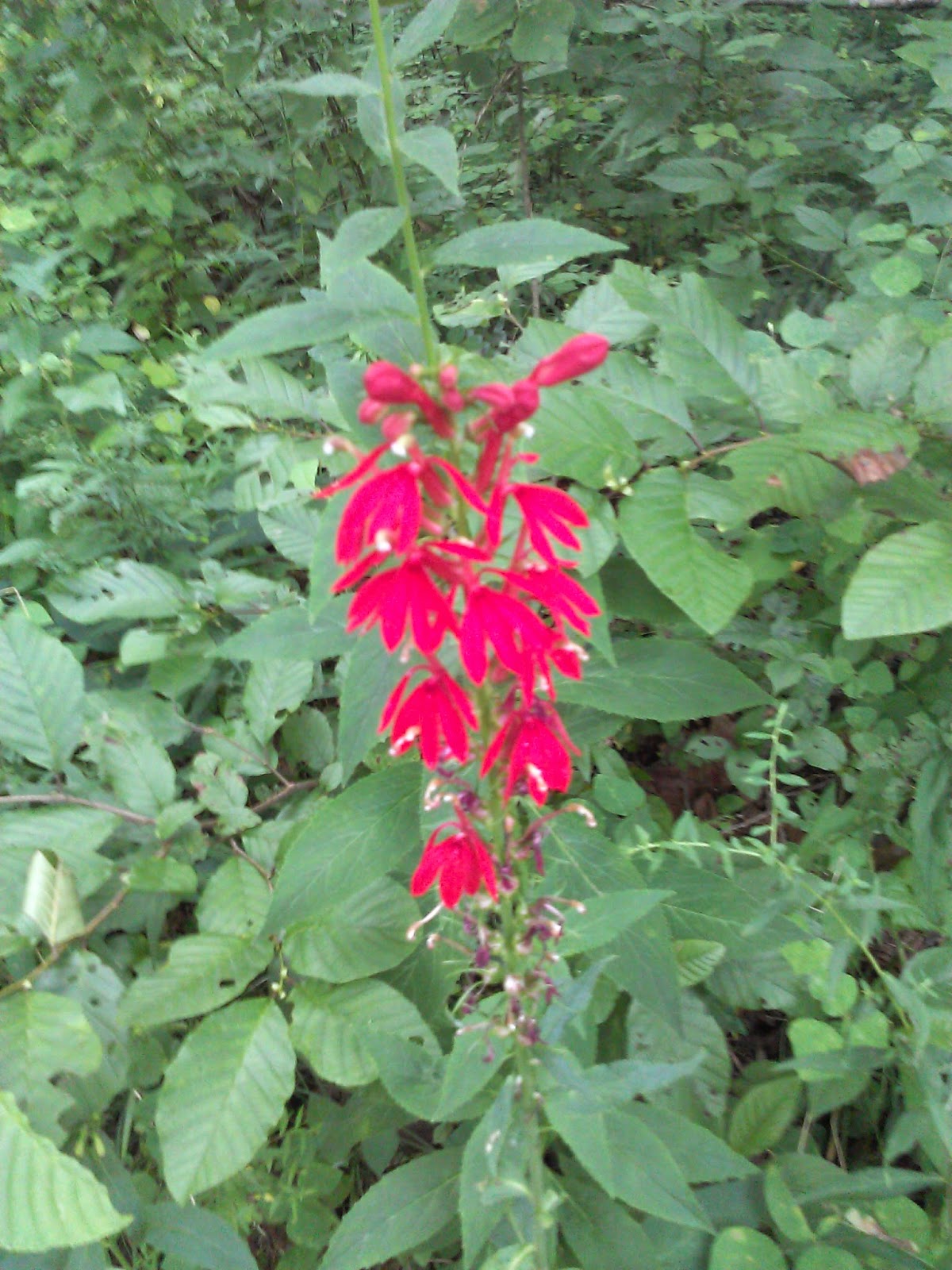
After yesterday's nice hike up Meigs Creek, I went back on Sunday Afternoon to get Meig's neighbor Curry Mountain. Access to the trail is gained by parking at the Metcalf Bottoms picnic area and walking about 100 yards down the Little River Road towards Sugarlands. There is no parking directly at the trailhead. The trail did start with a group of nice red wild flowers.
There was also a blow down that wasn't far down the trail that required a bit of effort to get over.
 The Trail looks to be an old road so it is wide and fairly easy to hike. It was uphill most of the way.
There was lots of evidence of bears on the trail, but I wasn't lucky enough to spot one. This trail had been closed earlier in the year for bear activity.
I spotted this nice flower up at near the end of the trail in one of the open spaces where the sun was shining.


At the sign, I turned around and headed home. It was a nice little workout with about 1000' of elevation gain. It made for an enjoyable afternoon.


.jpg)
No comments:
Post a Comment