Date: 10/12/14
Distance: 9.8
New Map Miles: 7.1
Total Map Miles: 571.9
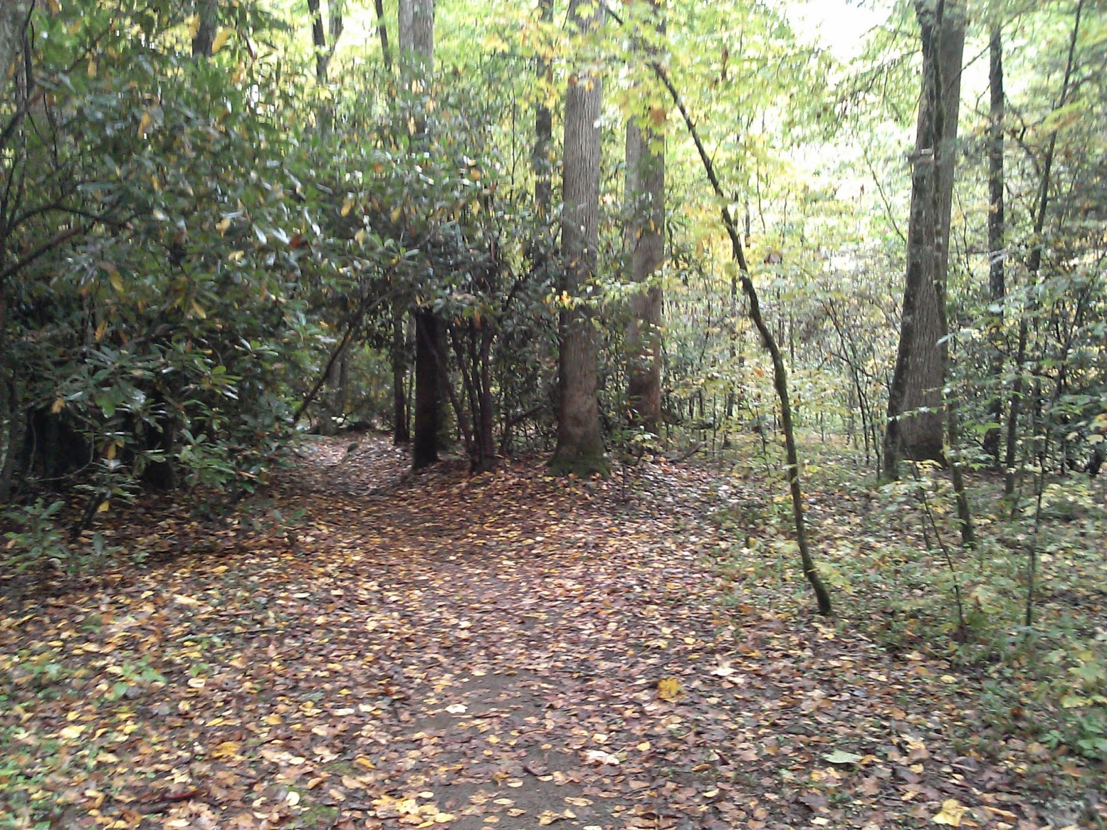
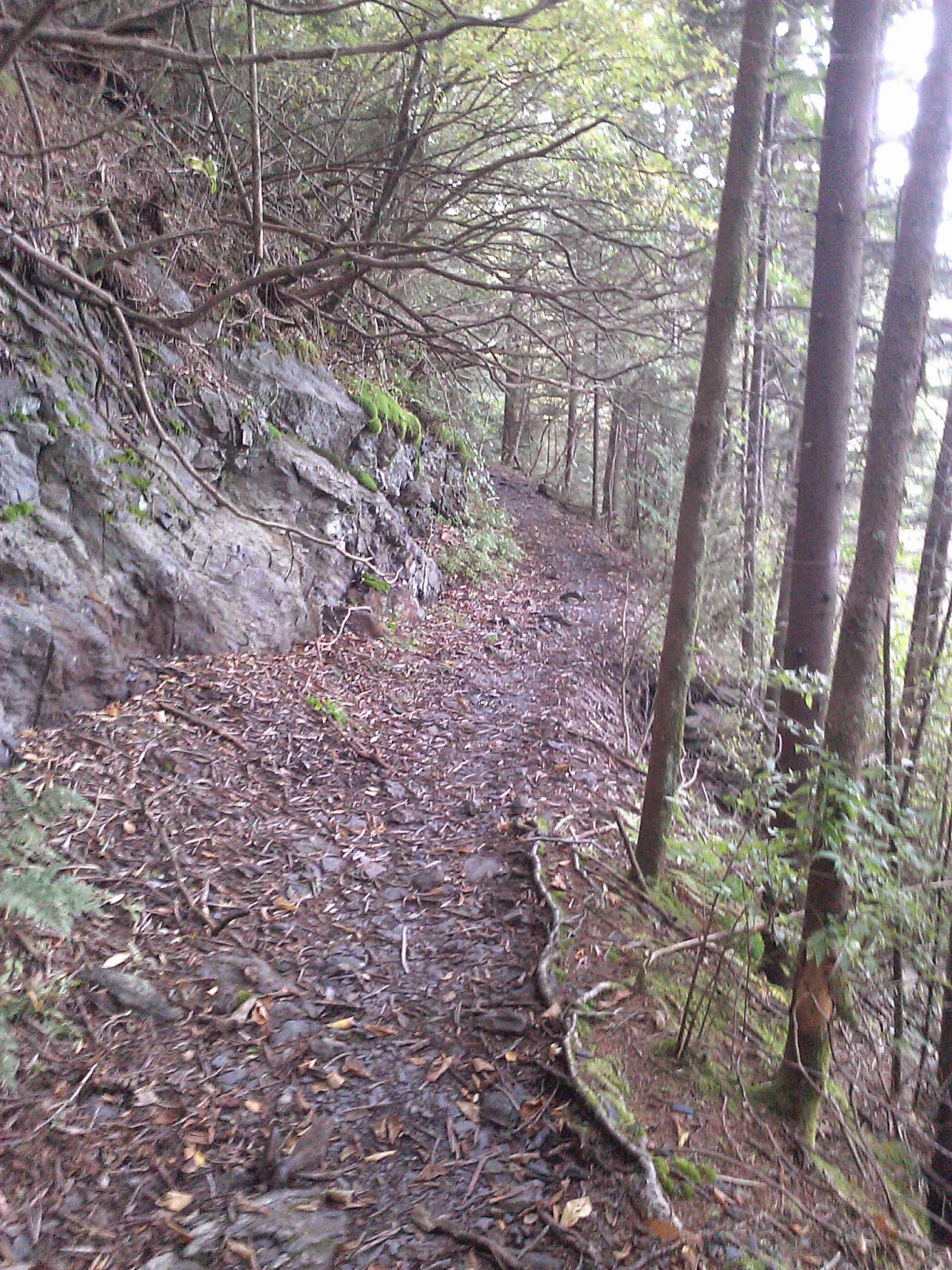
After another sleepless night in the tent, the rain once again stopped at breakfast and it was another nice day for a hike. I decided to finish off the trails around Smokemont by hiking the Smokemont loop trail. The trail started behind the Camper Dump station by crossing an old bridge. On my way to the trailhead, I found Yvonne who was looking for some company on the trail, so we hiked together. I was surprised that the loop climbed about 1300' over 2 miles, so it was a workout in the morning. The loop trail was a nice walk in the woods on a Sunday Morning. It ended at the Bradley Fork Trail where we turned right toward the campground.
At the Tow String Trail, Yvonne and I parted ways and I headed down the nasty horse trail while she went back to the campground. Tow String has a few ups and downs ending at Tow String Road which is a mile or so down 441 from Smokemont. I had intended to walk back up the road, but there was a gravel road that looked to be going the right way, so I took it. It also had a sign that said Newton Bald Trail and was pointed down the road. Since Newton Bald is directly across the river from the campground, I thought it was a good choice. 0.6 miles or so down the road, there was another Newton Bald sign which pointed down a very small horse trail. I followed it and was disappointed to find after 0.5 miles that there was a ford over the river. I wasn't up for that, so I bushwacked a while and eventually came out at the Smokemont stables. I spotted the gravel road also coming to the stable. I should have stayed on it.
At the stable I walked up the road to the Church, and then took the Stable trail back to Bradley Fork (1mi). It was a horrible muddy trail. Back at Bradley, I turned left and went to the car for the long drive home.
Friday, October 17, 2014
Kephart Prong - Grassy Branch - Dry Sluice Gap - Cabin Flats - Bradley Fork
Date: 10/11/14
Distance: 19.4
New Map Miles: 10.1
Total Map Miles: 561.8
After spending a sleepless night at Smokemont, I got up to a nice rain at the campground. Angel and her group from Louisville had planned to hike up Kephart and circle around by Charlies Bunion. They were nice enough to give me a ride up the mountain so that I could hike back to the campground and not have to worry about retrieving the car. We killed some time hoping the rain would stop and got on the trail about 9:45.
Kephart is a pleasant 2.0 mile trail that terminates at the Kephart Shelter. After a short break, the group started the climb up the mountain on Grassy Branch. This 2.6 mile trail has a big climb of about 1700' before terminating at Dry Sluice Gap.
At Dry Sluice, I said so long to the group and turned right on Dry Sluice for a fast hike down the mountain. The trail drops by more than 2000'. It was a bit rocky in places, but mostly in good shape.
At the Cabin Flats Trail, I took a right and hiked out to the campsite. It was a nice large site right on the creek.
Turning around at the campsite, I headed toward Bradley Fork. At the Bradley Fork intersection, I had a decision to make. I needed the 3.3 miles out to Hughes Ridge, but it was nearly 2:30 and I was worried that I still had 9 miles to go if I took the trail. I decided to start up the trail and if it took more than 1.5 hours. I'd give up and turn back. Bradley fork was a big climb of 2000'. I was hot and very sweaty at the top, but I made it up in 1:15 minutes. I quickly turned around and headed back down the mountain as fast as I could. I arrived back at the campground at 5:15 after jogging a bit on the last 2.2 miles of Bradley which is a wide gravel road beside the creek.
Thankfully, there was no rain during the hike and I was very happy to mark off a large section of the map.
Distance: 19.4
New Map Miles: 10.1
Total Map Miles: 561.8
After spending a sleepless night at Smokemont, I got up to a nice rain at the campground. Angel and her group from Louisville had planned to hike up Kephart and circle around by Charlies Bunion. They were nice enough to give me a ride up the mountain so that I could hike back to the campground and not have to worry about retrieving the car. We killed some time hoping the rain would stop and got on the trail about 9:45.
Kephart is a pleasant 2.0 mile trail that terminates at the Kephart Shelter. After a short break, the group started the climb up the mountain on Grassy Branch. This 2.6 mile trail has a big climb of about 1700' before terminating at Dry Sluice Gap.
At Dry Sluice, I said so long to the group and turned right on Dry Sluice for a fast hike down the mountain. The trail drops by more than 2000'. It was a bit rocky in places, but mostly in good shape.
At the Cabin Flats Trail, I took a right and hiked out to the campsite. It was a nice large site right on the creek.
Turning around at the campsite, I headed toward Bradley Fork. At the Bradley Fork intersection, I had a decision to make. I needed the 3.3 miles out to Hughes Ridge, but it was nearly 2:30 and I was worried that I still had 9 miles to go if I took the trail. I decided to start up the trail and if it took more than 1.5 hours. I'd give up and turn back. Bradley fork was a big climb of 2000'. I was hot and very sweaty at the top, but I made it up in 1:15 minutes. I quickly turned around and headed back down the mountain as fast as I could. I arrived back at the campground at 5:15 after jogging a bit on the last 2.2 miles of Bradley which is a wide gravel road beside the creek.
Thankfully, there was no rain during the hike and I was very happy to mark off a large section of the map.
Labels:
Bradley Fork,
Cabin Flats,
Dry Sluice Gap,
Grassy Branch,
Kephart Prong
Mingus Creek - Deeplow Gap Trail - Cooper Creek - Thomas Divide
Date: 10/10/14
Distance: 17.3
New Map Miles: 13.9
Total Map Miles: 547.9
This weekend was the GSHAG fall campout weekend. I spent Friday and Saturday night at Smokemont. To kick off the weekend, I took Friday off to hike the loop formed by Mingus Creek, Deeplow Gap, Thomas Divide, Newton Bald and back to Mingus Creek. JD had this hike on Meetup, but the early start time prevented me from joining directly. Instead I started out on my own about 1 hr behind the group at 9:00.
Mingus begins with a walk down a gravel road with a few bridges along the way. Less than one mile into the 2.9 section to Deeplow Gap, it becomes the more usual single track trail that is found in the Smokies. This 2.9 had a 1500' climb to get the heart pumping.
After 2.9 miles, I turned left on Deeplow Gap. At this point, the trail starts down hill losing 1000 feet over 2.4 miles before you arrive at Cooper Creek Trail.
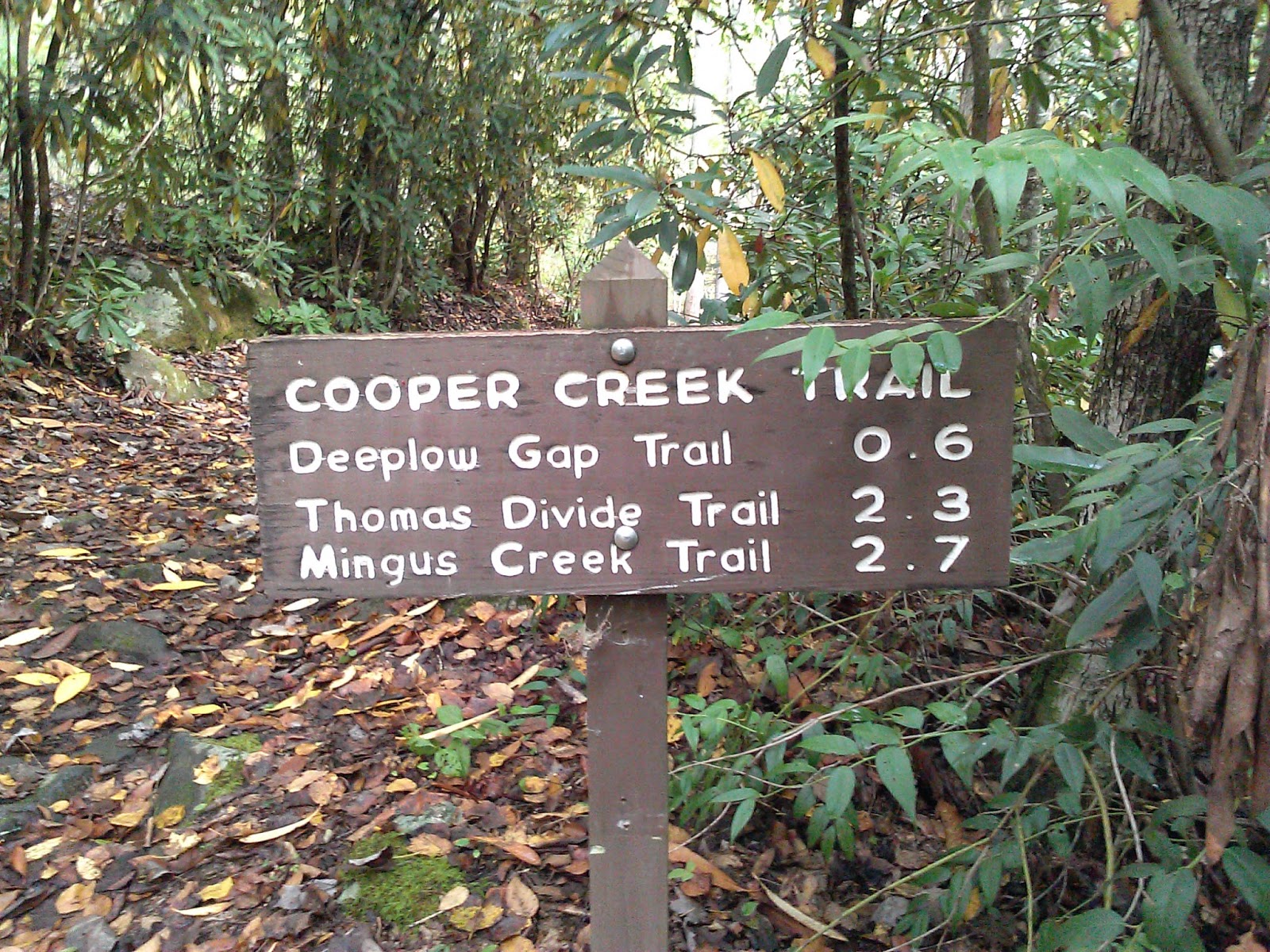
Cooper Creek is a short stub that goes to the edge of the park. It has one creek crossing, so I carried my Chacos on the trip. The stub is either 0.5 (park map) or 0.6 (sign post) miles in length and ends at a gate. On this day, there was nothing to the creek crossing and I just hop rocked on the way down and skirted the edge on the way back up.
Back at Deeplow, I once again turned left and started climbing up the mountain. On this section of the trail, the 1000' that was lost earlier is gained back in about 1.5 miles. There was a small waterfall on this leg of the trail.
After 1.5 miles, I turned right on Thomas Divide and continued the trudge up the mountain. The highest elevation was about 5000' which was 3000' above the trailhead. At the Newton Bald, intersection I finally caught the Meetup group who had stopped for lunch. After a short break, we all turned right on Newton Bald for a short section before turning right on Mingus Creek to head back to the car.
The trip down Mingus had an elevation drop of 3000'. JD was feeling good and practically running down the trail. I was feeling pretty good myself and somehow managed to stay with him. We got back to the car at 3:00.
This was a nice loop hike in the park. There were no great vistas, but lots of creek views, a waterfall and a nice walk in the woods.
Distance: 17.3
New Map Miles: 13.9
Total Map Miles: 547.9
This weekend was the GSHAG fall campout weekend. I spent Friday and Saturday night at Smokemont. To kick off the weekend, I took Friday off to hike the loop formed by Mingus Creek, Deeplow Gap, Thomas Divide, Newton Bald and back to Mingus Creek. JD had this hike on Meetup, but the early start time prevented me from joining directly. Instead I started out on my own about 1 hr behind the group at 9:00.
Mingus begins with a walk down a gravel road with a few bridges along the way. Less than one mile into the 2.9 section to Deeplow Gap, it becomes the more usual single track trail that is found in the Smokies. This 2.9 had a 1500' climb to get the heart pumping.
After 2.9 miles, I turned left on Deeplow Gap. At this point, the trail starts down hill losing 1000 feet over 2.4 miles before you arrive at Cooper Creek Trail.
Cooper Creek is a short stub that goes to the edge of the park. It has one creek crossing, so I carried my Chacos on the trip. The stub is either 0.5 (park map) or 0.6 (sign post) miles in length and ends at a gate. On this day, there was nothing to the creek crossing and I just hop rocked on the way down and skirted the edge on the way back up.
Back at Deeplow, I once again turned left and started climbing up the mountain. On this section of the trail, the 1000' that was lost earlier is gained back in about 1.5 miles. There was a small waterfall on this leg of the trail.
After 1.5 miles, I turned right on Thomas Divide and continued the trudge up the mountain. The highest elevation was about 5000' which was 3000' above the trailhead. At the Newton Bald, intersection I finally caught the Meetup group who had stopped for lunch. After a short break, we all turned right on Newton Bald for a short section before turning right on Mingus Creek to head back to the car.
The trip down Mingus had an elevation drop of 3000'. JD was feeling good and practically running down the trail. I was feeling pretty good myself and somehow managed to stay with him. We got back to the car at 3:00.
This was a nice loop hike in the park. There were no great vistas, but lots of creek views, a waterfall and a nice walk in the woods.
Labels:
Cooper Creek,
Deeplow Gap,
Mingus Creek,
Thomas Divide
Saturday, October 4, 2014
Wet Bottom Trail
Date: 10/4/14
Distance: 1 mile
New Map Miles: 1
Total Map Miles: 547.9
I went to bike the Cades Cove Loop early this morning and was disappointed to find that they are no longer closing the road to cars on Saturday mornings. However, the slow traffic gave me the excuse to go walk the Wet Bottom Trail. I started at the Cooper road end and just pushed my bike. It is a little muddy in spots and close to the Abram's Falls Trailhead there is a creek crossing. Since it was cold and I was pushing my bike, I just followed the creek over to be bridge on the Abram's Falls Trail. I then hid the bike in the woods and hiked the Wet Bottom trail back to the creek crossing.
Distance: 1 mile
New Map Miles: 1
Total Map Miles: 547.9
I went to bike the Cades Cove Loop early this morning and was disappointed to find that they are no longer closing the road to cars on Saturday mornings. However, the slow traffic gave me the excuse to go walk the Wet Bottom Trail. I started at the Cooper road end and just pushed my bike. It is a little muddy in spots and close to the Abram's Falls Trailhead there is a creek crossing. Since it was cold and I was pushing my bike, I just followed the creek over to be bridge on the Abram's Falls Trail. I then hid the bike in the woods and hiked the Wet Bottom trail back to the creek crossing.
Wednesday, October 1, 2014
AT (NFG to Snake Den) - Snake Den
Date: 10/1/14
Distance: 25 mi
New Map Miles: 9.7
Total Map Miles: 546.9
Today I linked up with the Wednesday Hiking group for a very long shuttle hike from NFG to Cosby. We met very early (5:15) at Cosby and shuttled to NFG. We started up the AT in the dark with headlights on at 6:50. The night sky was awesome with stars shining bright. When the sun came up the day was very beautiful as well. This portion of the AT is very scenic with many nice overlooks on this very clear day.
All along the ridge the views were just spectacular!
After traveling 19.4 miles on the AT, we made the left turn onto Snake Den.
Just to be anal about map marking, I hiked the short connector trail between Snake Den and Low Gap. I also had to walk a few tents in the Cosby Campground to get back to my car in the Hikers Parking lot.
I finished about 4:15.
Distance: 25 mi
New Map Miles: 9.7
Total Map Miles: 546.9
Today I linked up with the Wednesday Hiking group for a very long shuttle hike from NFG to Cosby. We met very early (5:15) at Cosby and shuttled to NFG. We started up the AT in the dark with headlights on at 6:50. The night sky was awesome with stars shining bright. When the sun came up the day was very beautiful as well. This portion of the AT is very scenic with many nice overlooks on this very clear day.
About 4 miles up the trail, we went out on Charlies Bunion for a few photos.
All along the ridge the views were just spectacular!
Shortly before reaching Snake Den, I spotted the wreckage of an old plane crash.
After traveling 19.4 miles on the AT, we made the left turn onto Snake Den.
Just to be anal about map marking, I hiked the short connector trail between Snake Den and Low Gap. I also had to walk a few tents in the Cosby Campground to get back to my car in the Hikers Parking lot.
I finished about 4:15.
Subscribe to:
Posts (Atom)


.jpg)
.jpg)