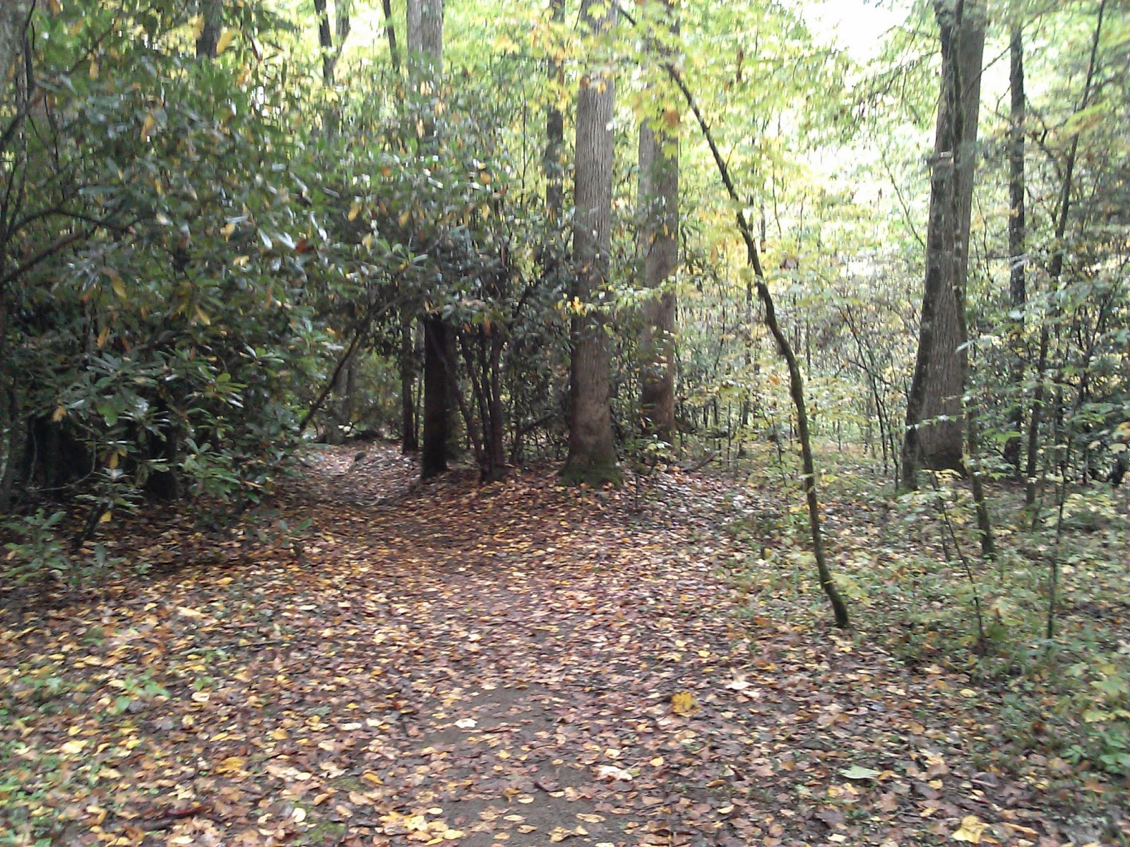
Distance: 19.4
New Map Miles: 10.1
Total Map Miles: 561.8
After spending a sleepless night at Smokemont, I got up to a nice rain at the campground. Angel and her group from Louisville had planned to hike up Kephart and circle around by Charlies Bunion. They were nice enough to give me a ride up the mountain so that I could hike back to the campground and not have to worry about retrieving the car. We killed some time hoping the rain would stop and got on the trail about 9:45.
Kephart is a pleasant 2.0 mile trail that terminates at the Kephart Shelter. After a short break, the group started the climb up the mountain on Grassy Branch. This 2.6 mile trail has a big climb of about 1700' before terminating at Dry Sluice Gap.
At Dry Sluice, I said so long to the group and turned right on Dry Sluice for a fast hike down the mountain. The trail drops by more than 2000'. It was a bit rocky in places, but mostly in good shape.
At the Cabin Flats Trail, I took a right and hiked out to the campsite. It was a nice large site right on the creek.
Turning around at the campsite, I headed toward Bradley Fork. At the Bradley Fork intersection, I had a decision to make. I needed the 3.3 miles out to Hughes Ridge, but it was nearly 2:30 and I was worried that I still had 9 miles to go if I took the trail. I decided to start up the trail and if it took more than 1.5 hours. I'd give up and turn back. Bradley fork was a big climb of 2000'. I was hot and very sweaty at the top, but I made it up in 1:15 minutes. I quickly turned around and headed back down the mountain as fast as I could. I arrived back at the campground at 5:15 after jogging a bit on the last 2.2 miles of Bradley which is a wide gravel road beside the creek.
Thankfully, there was no rain during the hike and I was very happy to mark off a large section of the map.


No comments:
Post a Comment