Thursday, December 26, 2013

Little Greenbrier

Date: 12/23/13
Distance: 8.6

Today was cloudy as a front was moving out.  The weather indicated that the rain would be gone by 11:00, so I headed over to the Little Greenbrier trail about 11:00.  The trailhead is on the road which goes from Wears Valley into the park at Metcalf Bottoms.

About the time I entered the park, it started drizzling and it continued to drizzle until just before I returned to the car, so I wore a poncho for the entire hike.

I had previously hiked the first 1.9 miles on another hike back in August.  On this hike, I did the entire trail (4.3 mi).  It was a nice walk in the woods, but it was more of a climb than I was expecting (~1800ft).

I turned around at the Laurel Falls Trail.  If it hadn't been raining and if I had started earlier, I would have gone down to the falls, but the additional 1.8 miles weren't too tempting in the drizzle.

Total hike time was 3:15.

Saturday, December 21, 2013

Jakes Creek

Date: 12/31/13
Distance: 9.2mi

Today I headed out to hike the Jakes Creek and Miry Ridge trail.  There was a good chance of rain late in the afternoon and tomorrow, so I was prepared in the event of rain.

The Jakes Creek trail was 2.9 miles on the trail map, but I had read that it was actually 3.3mi.  When I got to the trail, the sign said 3.7mi.  When I actually got to Jakes Gap, my phone indicated 3.9, so the hike was longer than I expected.

The 1st 1.8 miles of the trail are on a gravel road.  It has some rolling hills but goes up much more than down.  At 1.8 miles, a foot bridge crosses the creek and the trail eventually turns into the classic single track trail.

The climb up to Jakes Gap was pretty tough with the elevation gain.  It was a nice climb through the woods.  At the Gap, the wind was roaring through the trees.  It sounded like the beach.  I headed on up Miry Gap, but about 0.6 miles up, the trail turned and I ended up directly in the wind.  At this point, the sky looked threatening and the wind was howling, so I made the decision to turn back.  I'll have to get the top part of Miry Ridge another day.

By the time I got to the gap, it was raining, so I hustled back down the mountain.

Even with the change of plans and the off and on rain, it was still a nice day in the woods.


Thursday, December 19, 2013

Long Bunk Trail - Little Cataloochee trail

Date: 12/19/13
Distance: 11.4mi


Today I hiked the Long Bunk trail in the Cataloochee area of the park.  Getting to the trail isn't easy in this part of the park.  I exited I-40 at the Waterville exit and followed the Mt Sterling Road to where the Little Cataloochee trail meets the road.   Mt Sterling road isn't paved and was more than 10 miles long, so the trip up the mountain was pretty slow and tedious.  I went out in the other direction and the road seemed even worse.

The trail was nice though.  After the 1st mile on Little Cataloochee, I turned right onto Long Bunk.  Little Cataloochee is an old gravel road, so it is wide and smooth, but a little hilly.  Long Bunk starts out as a road, but turns into a single track after a mile or so.
 The Hannah Cemetery was a few tenths of a mile up the Long Branch trail.  It had graves as new as 2000.


Along the trail there are several locations where you can get a view of Mt Sterling.  The tower was visible from the location in this picture.  Its hard to see in the small photo.

When the trail reaches the Mt. Sterling trail, there were also some nice views in both directions.
I turned around at the Mt. Sterling trail and headed back down the mountain.  I hadn't noticed the small water feature on the way up.


 Back at the Little Cataloochee trail, I turned right to hike a bit longer.  When I started the day, I intended to hike the entire trail, but the long travel time caused time to be short.  I decided to hike down to the baptist church and then turn back.  A short distance down the trail, the Hannah Cabin was up in the woods.


The cabin was a nice 1 room with a loft.
About 1 mile from Long Bunk, sits the Little Cataloochee Baptist Church.


The climb up had about 1300' of elevation gain with a few rolling hills along the way.  The trail was a little muddy in spots and there were a few small stream crossings.  It was a very nice walk in the woods.


Saturday, December 7, 2013

Noland Divide - Pole Road Creek - Deep Creek Trail

Date:  11/30/13
Distance: 15 miles
Today was my first visit to the Deep Creek area of the park.  We left a car at Deep Creek and returned to the Clingman's Dome road at the Noland Divide Trailhead.  We left Sugarland's Visitor Center about 8:00am after waiting for 441 to open due to ice on the road.  By the time we drove to Deep Creek and returned to the trailhead, it was a bit after 10:00.

The trail was covered with snow for the 1st few miles and was a little rocky for the 1st couple miles.


After the 1st mile or so, the trail became very smooth and was easy to hike fast as it was downhill, but not too steep.

After 3.7 miles, we reached the intersection with the Pole Road Creek Trail.  We followed Pole Road for 3.3 miles before turning right on Deep Creek Trail for the rest of the hike.

 At one point, the trail turned into a creek for about 50 yards.  We managed to rock hop it without too much trouble, but it did slow us down.


 There were also a number of creek crossings which we had to navigate.  A couple of them had large trees which were strategically located across the more difficult crossings.


At Deep Creek there was a very scenic waterfall.


 Back near the car, we took the short loop trail to Juney Whank Falls.  It was smaller, but had a bridge right at the base of the falls.

The hike had about 4000' of elevation loss, but it didn't feel too steep.  We hiked at about 3mph as we were anxious to get back over the mountain before the road closed again.  

Up on the Clingman's Dome Road, we saw this.


Saturday, November 23, 2013

Little River Trail - Cucumber Gap Trail

Date:  11/23/2013
Distance: 14.8 miles

Today I hiked the Little River Trail which starts just past the Elkmont Campground.  The day was very foggy with a light drizzle most of the day.  It made for an eerie day.  The trail looks to be an old road or railway.  Plenty wide for several people to walk side by side and graveled most of the way.

This was a nice little water feature which was about 2 miles into the hike.

I saw a bear scamper across the trail and then a young buck was just at the edge of the trail.  He is impossible to see, but he is up near where the trees cross each other.


 About 2.8 miles into the hike, you cross a good sized bridge over a rushing creek.


The Little River trail is 6.2 miles from the parking lot until it ends at Campsite 30.  There were several semi challenging creek crossings in the last mile.  The worst one was right at Campsite 30.  The Campsite looked very large with multiple good sites.

Because of the tough creek crossing, I decided to not eat at Campsite 30.  Instead I crossed the creek and then just ate as I walked back down the trail.  It was too wet to sit anyway.

On the way back, I turned on the Cucumber Gap trail.  This trail is more of a classic "single track" trail. (not an old road). It immediately started up hill through a rhododendron thicket that creeped me out a bit.  The wind would blow and water would fall from the leaves giving the feeling that something was rustling in the bushes just waiting to jump out.  About 0.8 miles up this trail, the environment changed drastically.  The rhododendron gave way to a forest that was full of vines.  The vines had killed many trees.


The Cucumber gap trail is 2.4 miles long with a 500' or so elevation gain and then loss.  The trail ends on the Jake Creek trail which is another old road.  This section was 0.7 miles back to the road and then another few tenths of a mile back down to the car.  Jakes Creek has several dilapidated cabins along it. 


Total time was about 5 hours.  This trail was a nice walk in the woods with many scenic creek views.

Cooper Road - Cane Creek - Goldmine

Date:  11/15/13
Distance: 13 miles

Today I went over to a part of the park that I'd never visited before.  It is a good thing that I had the GPS with me as I doubt I would have found the Abrams Creek campground with out it.  This time of year the campground is closed, so the Abrams Creek area was deserted on this Friday morning.

Since there is no parking for day visitors over at the campground, you must park near the ranger station and hike about 0.5 miles to get to the Cooper Road trail.  As the name implies, the trail is an old gravel road.  If you hike the entire trail, you'd end up in Cades Cove, but for today's hike, I just followed it to Cane Creek Trail.  About 3 miles into the hike, the Goldmine road trail heads off to the left.  It is only 0.8 miles long, so I turned on this trail and followed it to the end.  I didn't see a gold mine, but I did see an old barn and a sign when the trail leaves the park.  I believe if you continue on this trail outside of the park, you'd end up at the Top of the World Estates.  The end of Goldmine Road is the highest elevation attained in this hike.


Just 0.4 miles past Goldmine road, Cane Creek heads off to the left.  This trail also looked like an old road.  It was pretty mushy in several places and there were several creek crossings that required some effort to hop rock.


The trail ends with a "Posted" sign.

This trail was a nice walk in the woods, but nothing spectacular.  Total hiking time was 4:30.

Saturday, November 9, 2013

Clingmans Dome - AT - Welch Ridge - Jonas Creek - Forney Creek

Date: 11/9/13
Distance: 19.7 mi

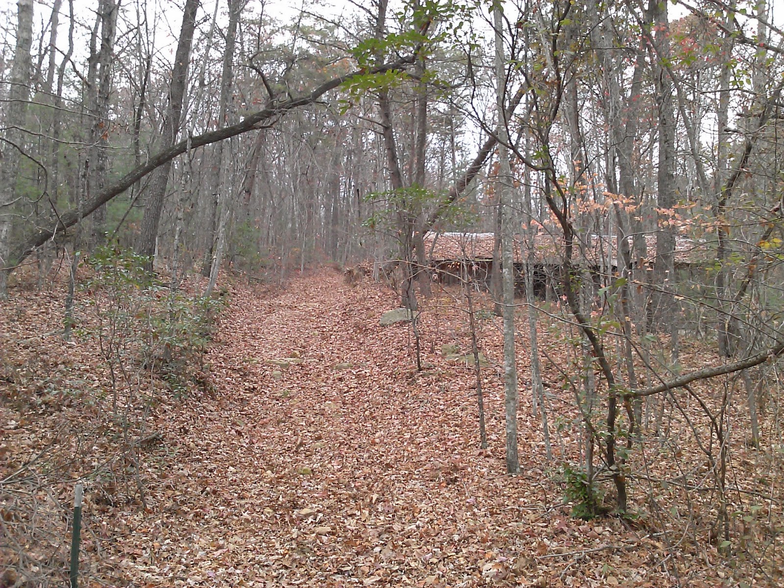
This hike as a very long difficult hike.  It is the longest hike I've been on and had a total of  >5000ft of climbing to go along with it.

The morning started early with the group meeting at Clingmans Dome at 7:30.  We started hiking about 7:50.  The sun had not been up long, and it was very clear so the views from the parking lot were spectacular.  The hike started by heading up the paved trail toward the tower.  At the top of the hill, we turned left on the AT and headed toward Double Spring Gap.  The trail followed the ridge and had many nice views off both sides.

After 3.8 miles, we turned left on Welch Ridge.  Welch Ridge starts the downhill portion of the hike in earnest.  After 2.4 miles, we turned left on Jonas Creek.

Jonas Creek had a number of creek crossings that we hop rocked (but just barely).  I was tempted to put on my water shoes on a couple of them.

We had lunch at Campsite 70.  It was a very wide open site with a picnic table and several logs to sit on.

Once Lunch was over, we started on the Forney Creek Trail.  There were about 7 more creek crossings that were even more dangerous than Jonas Creek, but I managed to hop rock all of them with only a couple of scares.

The 1st 5 miles of Forney Creek had a steady rise that wasn't too difficult to climb.  Once you reach Campsite 68, the climb is much more severe.  We climbed about 1500' in only 2 miles.

At the termination of Forney Creek, we took a left on Forney Ridge trail for the final 1.1 miles to the parking lot.  This section of the trail had lots of steps and while the view was nice, the hiking wasn't great.  Of course, I had already hiked 18 miles, so maybe it doesn't get a fair shake for that reason.

It was a very long day as we got back to the cars about 5:20.  It was a very challenging hike and rewarding to complete.