Distance: 13 miles
Today I went over to a part of the park that I'd never visited before. It is a good thing that I had the GPS with me as I doubt I would have found the Abrams Creek campground with out it. This time of year the campground is closed, so the Abrams Creek area was deserted on this Friday morning.
Since there is no parking for day visitors over at the campground, you must park near the ranger station and hike about 0.5 miles to get to the Cooper Road trail. As the name implies, the trail is an old gravel road. If you hike the entire trail, you'd end up in Cades Cove, but for today's hike, I just followed it to Cane Creek Trail. About 3 miles into the hike, the Goldmine road trail heads off to the left. It is only 0.8 miles long, so I turned on this trail and followed it to the end. I didn't see a gold mine, but I did see an old barn and a sign when the trail leaves the park. I believe if you continue on this trail outside of the park, you'd end up at the Top of the World Estates. The end of Goldmine Road is the highest elevation attained in this hike.

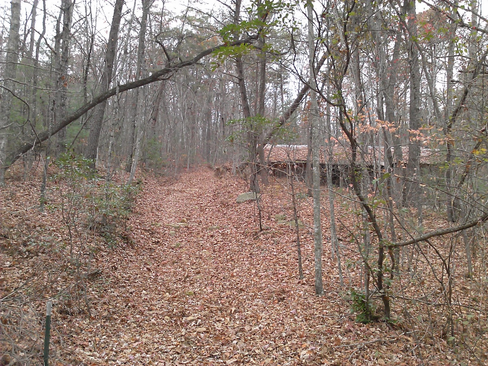
Just 0.4 miles past Goldmine road, Cane Creek heads off to the left. This trail also looked like an old road. It was pretty mushy in several places and there were several creek crossings that required some effort to hop rock.

The trail ends with a "Posted" sign.

This trail was a nice walk in the woods, but nothing spectacular. Total hiking time was 4:30.

No comments:
Post a Comment