Sunday, April 12, 2015

Porters Creek

Date: 4/11/2015
Distance: 7.4 miles

Today I started early for Porters Creek.  I had seen on the Facebook Smokies Group page that the wildflowers were blooming, so I chose to use the morning to go check it out.  I left the house about 6:30 and was hiking a bit before 8:00.

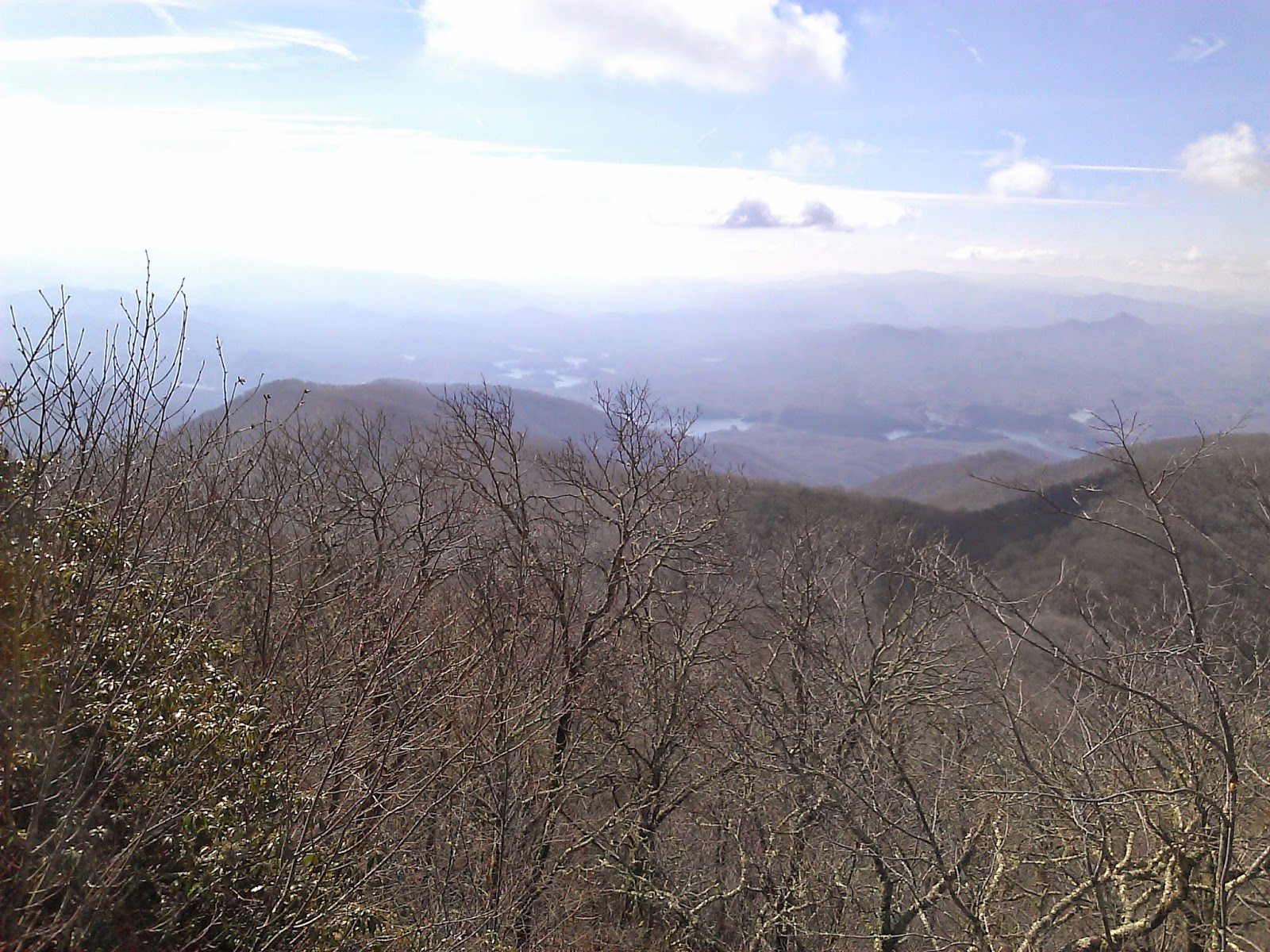
It was a glorious spring day for a hike.  The trail starts with a 1 mile walk up a gravel road where the trail changes to a classic single track trail.  I opted to not visit the barn or the cabin that sits near this junction as time was limited.

One of the 1st interesting sights on the trail was an impressive foot bridge which consisted of 3 sections.  The Creek was quite beautiful this morning.


Shortly after the bridge, the wildflowers began to make their appearance in earnest.  The forest floor was just covered with these small white flowers.
About 2 miles from the car, there is a nice waterfall


 Beyond the falls, the Trillium really started showing up in bunches.  The forest was just covered with it.  The pictures don't do it justice.


 The trail was extra nice as it followed the creek all of the way up to the end of the trail at a campsite.


 There was a huge tree right next to the trail that was cool to see.


I arrived at the campsite about 9:20.  The sun was just making its way above the surrounding mountains.  The campsite was large with 2 or 3 different group spots.

 On the way back down, I had to stop and shoot a few more pictures of the Trillium now that the sun was shining.


 On the way down, I noticed this old decaying log that was covered with purple flowers that were living on it.


 Back on the gravel road, I noticed a few steps going up the side of the trail and found a cemetery.

 These purple flowers were along the gravel road as well.


I didn't think it was much of a climb, but it looks to have been about 1500' over 3.8 miles.  Great morning in the park and back home by noon.


Monday, April 6, 2015

900 Miler

I'm now a 900 miler.  If you are unaware of the 900 mile club, it is a group of hikers that have completed every trail on the Great Smoky Mountain National Park trail map.  It is actually about 800 miles and there is some debate where the 900 mile name came from, but nonetheless that is the name.

Joining the club is bittersweet.  I'm excited to have achieved a goal that I've been pursuing in earnest for about 1.5 years, but I hate that I won't be traveling any "New" trails.  I won't be seeing any "new" overlooks, or waterfalls, or just big trees or rock formations that you find on many trails.  I'm sure I've forgotten things along the way and missed some things in my rush, but still... I've seen the big ones.

I've been asked numerous times "What is Next?".  That is a good question that I don't know the answer to.  At the moment, I can't imagine that I'll stop hiking, so I suppose I'm working on my 2nd map.  Maybe I'll take it a little slower this time.  Perhaps I'll plan things a little better to have more company on the trail.  I marked off 360 miles on solo hikes.  I had to hike 684 miles to mark off those miles.  Don't get me wrong, I enjoy the solitude, but that is a lot of solitude!

I have met many friends that I love to hike with on this journey.  I'd wager that I've made more new friends in the last 2 years that at any 2 year interval in my life.  Those friendships are as meaningful as achieving my map marking goal. Hikers are just good folks.  We may have nothing else in life in common, but the trail brings you together in a way most other activities cannot.

Some have asked about my favorite hikes.  I have a hard time singling out hikes that were my favorites.  Some I love for the grand vistas (AT, Mt Sterling, Shuckstack, High Rocks, LeConte)  others I love for the waterfalls (Trillium, Rainbow, Indian Flats, Deep Creek), others I loved for the challenge (Jenkins, Eagle Creek, LeConte), but I come home just as happy after the nothing special walk in the woods hikes.  I believe the combination of the physical exertion, the solitude and nature does something to restore your soul.

Here are the final statistics
Number of Hiking days: 98
Number of Nights in the Woods: 5
Number of Total Miles: 1301
Total Map Miles 2012 (Oct 19-Dec31): 30.9
Total Map Miles 2013: 181.8
Total Map Miles 2014: 518.1
Total Map Miles 2015 (Jan 1- April 4): 70
Starting Weight: 185ish
Finishing Weight: 166

 Lets Go Hiking...


Cold Spring - High Rocks - Bear Creek - Forney Creek - Whiteoak Branch - Lakeshore (Day 2 of Backpack)

Date: 4/4/15
Distance: 15.7
New Map Miles: 3.8
Total Map Miles: 800.8  DONE!

I crawled out of the tent about 7:00am not having had much sleep, but anxious to get going on the 2nd day of my map finishing backpack.  I loaded up on oatmeal and we broke camp hitting the trail about 8:15.  The day was pretty cold.  I'm estimating it was less than 40.  We knew there was a creek crossing 1st thing on Cold Springs, so we headed down the trail with some worry and dread as we expected the water to be high and fast and cold.  The crossing met our expectations.


I had heard lots of bad things about Cold Springs, so I was expecting the worse.  It has lots of water crossings, but all except the 1st we rock hopped.  It also had lots of rocks and many mucky spots.  At times the trail and the creek become one and it is a big climb (~2500ft).


I hadn't planned to finish my map with such a challenge, but in the end it felt right.  The challenging hikes are the most rewarding and in some ways my favorites.  That said, I was pretty happy when we reached to top of Cold Springs and were greeted with some views through the trees.


At this point the trail turns to the left and the name changes to Welch Ridge.  This was still new trail for the next 0.5 miles up to the High Rock Trail.  It was relatively steep steady climb up to the High Rock Trail, but I was pumped up knowing it was the end of the journey.  At the High Rock Sign, my Map was DONE.


I ditched the pack and jogged out to High Rocks for a few glorious views of the valley below.


 I expect others have finished the map in more remote locations, but I'd guess not many.  When I got back to my pack, we had to hike more than 10 miles to get out of the park no matter which way we went.  Our hike took us down Bear Creek.  Bear Creek is a pretty nice trail in the beginning with some nice views from the ridge.  It loses lots of elevation and eventually turns into a road.  It did feel really long today as the pack was beginning to wear on me.

Russ needed the bottom 1.1 miles of Forney Creek, so we turned left at that trail and then turned right at Whiteoak.  At the time the climb up Forney and Whiteoak seemed horrible.  It is a little funny to see the tiny bump on the elevation plot below.

At Lakeshore, we took a left and exited through the Tunnel to Nowhere.  Russ's Mom and Wife were super nice to come pick us up and shuttle us back to Clingmans Dome where my car was waiting.


Clingmans Dome - AT - Welch - Hazel - Backpack Day 1

Date: 4/3/15
Distance: 14.4
New Map Miles: 8.1
Total Map Miles: 797

For months I've been planning and scheming and re-planning on ways to get the top of Hazel Creek and Cold Spring Gap.  Finally the plans have come together and I my map finishing backpack was ready to begin.  Russ and I set out on Good Friday from Clingmans Dome at about 11:15 to complete my 2.5 year endeavor.  The day was really nice with forecasts indicating the temperature would get to 70, but at the Dome it was cold.  I quickly traded my shorts for pants and a fleece and wondered if I'd packed enough warm clothes.

We hiked up the paved trail with the hoard of tourists passing a few thru hikers on the way up.  We decided to skip the tower and immediately turned left on to the AT.  The throng of hikers quickly disappeared with just a few passing by over the next 3.8 miles.  The views from the AT were amazing.


At the Welch Ridge intersection, we turned left and started the steady descent to Hazel Creek.  After 1.7 miles on Welch, we turned right onto Hazel Creek Trail.  Hazel has a steep descent as well.  Hazel Creek is your constant companion on this hike.  It had a few cascades along the way that were nice to observe.


 It also had LOTS of water crossings.  We rock hopped the 1st few, but eventually, the creek got too wide and deep and we had to wade.  It felt like we wadded 10-15 times.  I carried some old tennis shoes that I just wore for about 3 miles.
 We finished up the day at Campsite 82.  We were a little disturbed to find it full of horses.  We had reserved 3 spots and there are only 6 available, so we knew they hadn't reserved spots.  They also had their horses in the camping area and not up at the horse rail.

I went with my old standby of Mountain House Spaghetti and enjoyed it.  Sleeping was extra poor as some weather moved in with some thunder and lightening.  In addition, my air mattress went flat during the night to make it extra dreadful.