Distance: 17.7 (Hiking) 10.0 (Biking)
Back on August 24th of 2014, I spent an entire day marking of pieces of the map around Balsam Mountain Road. On this day, I repeated the exercise with even more bits and pieces for the 2nd map.
Balsam Road is a rather long (28 mile) gravel road that connects Balsam Mountain Campground to Cherokee. The road is closed during the winter months and a few years ago it was closed the entire season due to budgetary reasons. It is a major task to get the trails which leave from that road, so on this day I bit the bullet and went for it. Nathan needed to be dropped off at Church at 5:30 am for Sonburn, so it was the perfect morning to get an early start.
I drove to the Balsam Mt Picnic area to begin the adventure. I knew I was in for an interesting day when I had to wait for 2 elk to get out of the road a few miles from the destination. There was also a mama and baby bear in the road and a whole flock of turkeys. I only got the camera up in time to get the elk.

Flat Creek starts with a short drop down to the creek and then up and over a ridge before a rather steady climb back up to the picnic area. Much of the early part of the trail is near the creek. And in the wet places there were lots of wildflowers.


I was back at the car a bit after 9:00. I drove back down to my bike and picked it up before turning around and heading back up the mountain to Balsam Road. The gravel road was rough and bumpy which severely limited speed. There were some nice flowers along the road.


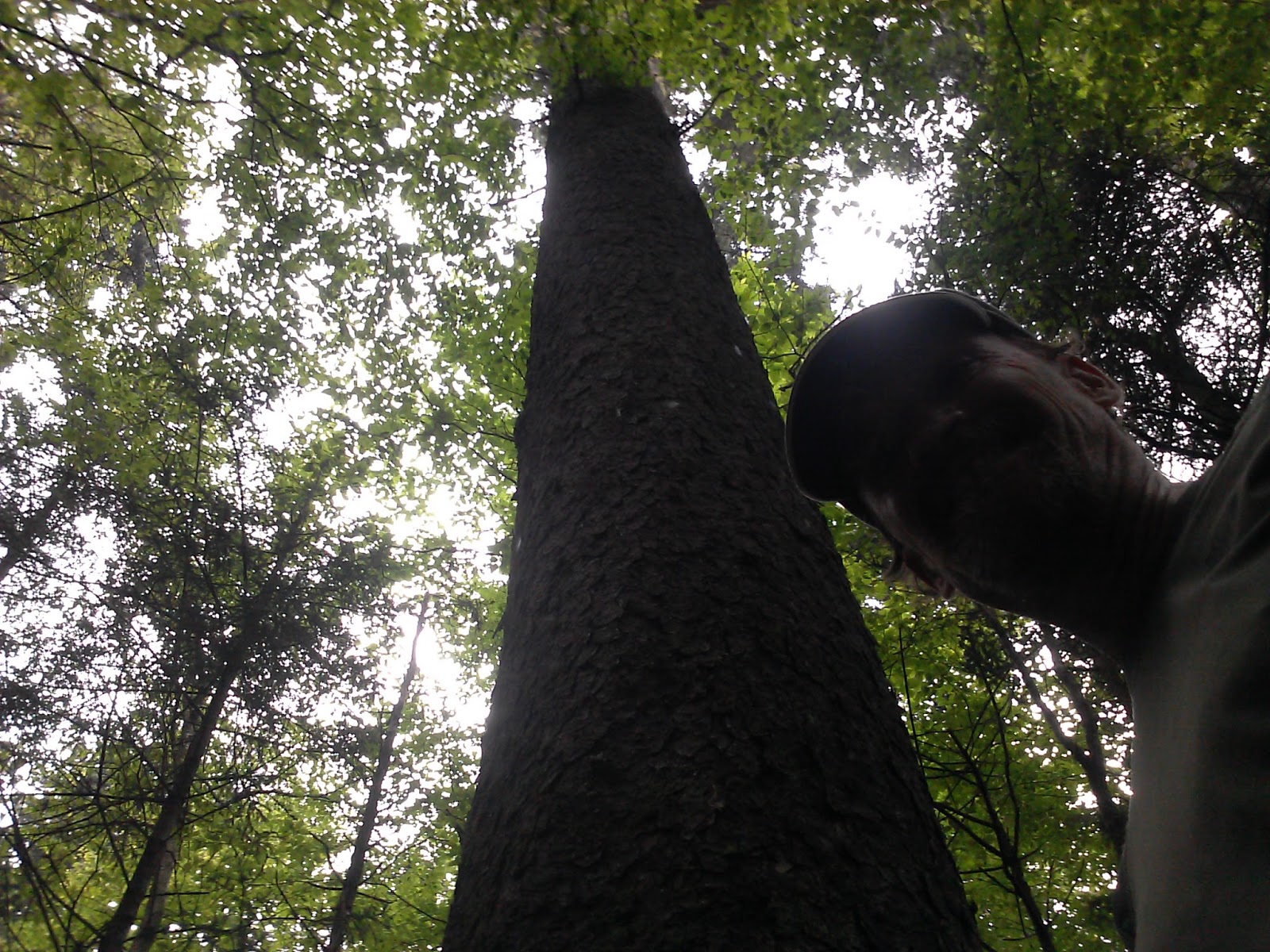
I also enjoyed this huge tree near the campground.


I then drove to the Balsam Mountain trail and once again mounted my bike and headed down the road to the Beech Gap Trail. This was about a 5 mile bike ride with lots of elevation drop (1500' or so). It was a little scary bouncing around on the bike and keeping the brakes on hard for so long. At 11:40, I once again locked the bike to a tree and started climbing. Beech Gap is a tough climb up the mountain gaining 2200' in 2.5 miles.


The drive down to my bike wasn't much more fun in the car than on the bike. Once I nearly got stuck in the ditch trying to avoid a big pothole, but eventually I got there (about 1:45), parked the car and started biking the 1.5 miles down to the Hyatt Ridge Trail.
Hyatt is a near repeat of the big climb up Beech Gap, so it was mentally tough this late in the day to once again start a 2000' climb up the mountain. The climb is mostly in the 1st 2.5 miles. Once you get up high, the trail is a pretty nice walk out to campsite 44. At the campsite, I backtracked 0.9 miles to the other end of Beech Gap I. I was anxious to get on home by the time I reached this intersection, so I headed down the mountain with some urgency arriving back at the car at about 4:45.


No comments:
Post a Comment