Distance: 20
New Map Miles: 18.9
Total Map Miles: 695.5
Today was a very productive day on the map. I gained 18.9 miles and only had to hike 20 to get it. I left my car at Thomas Divide where it hits 441 and Russ drove us up to Deep Creek.
The Deep Creek Trail starts with a steep downhill section as you leave 441, but eventually levels out enough to be very pleasant. There were several small creek crossings which we rock hopped, but it took a little effort. Nearly all of the trail was within site of the creek with a few spots where you are very close to the creek. I could imagine that the trail could flood out in a high water event.


After about 8 miles we reached the Martins Gap trail.

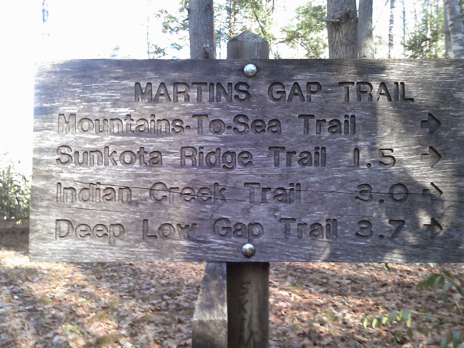
There was a nice campsite where Martins Gap turned to the left, so we sat for a short lunch. The site was in the shade so we quickly got cold and decided to get moving. Martins Gap was only 1.5 miles, but had a big elevation gain. At the Gap, it was time to remove the long johns, fleeces and gloves as the rising temperatures of the day and the steep climb combined to start the sweat flowing.
At Martins Gap, we turned left onto Sunkota Ridge Trail. the climb continued on Sunkota, but at a lesser slope than on Martins. Sunkota was 4.9 miles out to Thomas Divide.


There were some nice views through the trees of Clingmans Dome and there were a few areas with snow where the sun doesn't shine.


I was also surprised that there was a nice downhill section just before getting back to 441. The hike took a bit less than 7 hours including breaks, so we were back to the car at 4:15. Traffic was reasonable and I made it home by 6:15 including a stop a Gondolier for a plate of Spaghetti.
.jpg)
No comments:
Post a Comment