Distance: 9.4 mi
New Map Miles: 9.4
Total Map Miles: 374.3
Today I worked till a bit after 10:00 and then headed for Cataloochee. The drive was about 2:30, but that included a stop at Walmart which had a Subway. Rain was in the area, but the drive over was mostly dry. As soon as I got to the end of the road in Cataloochee, it started raining. By the time I changed clothes and was ready to go, the rain had stopped, so I headed up the Big Fork Trail.
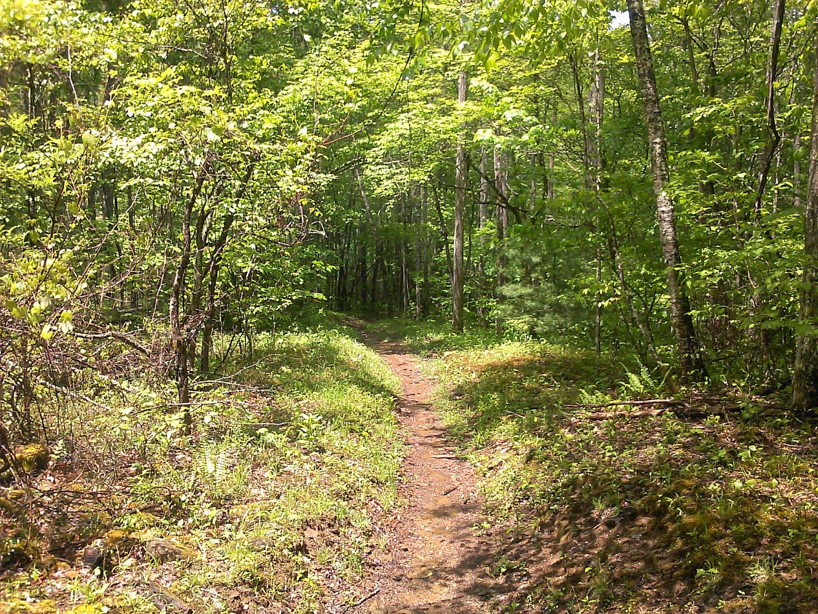
Just 10 minutes down the trail the rain started again. It even sleeted for a while, so I didn't get the camera out much during the 1st 1/2 of the hike. Big Fork starts out on a road, but pretty quickly turns into a single track trail. The 1st 1.7 miles has a climb of about 750'. After the climb, the trail immediately loses most of the elevation that was gained. There were a few nice views through the trees. There were also several creek crossings with bridges.


No comments:
Post a Comment