Date: 11/15/14
Distance: 15.5
New Map Miles: 11
Total Map Miles: 636
This Saturday started out very cold, but was forecast to warm up nicely, so I drove to Deep Creek to hike. The hike started on the Thomas Divide Trail where it meets Tom Branch Road. Travel time was about 2:20. I got started about 9:45.
Thomas Divide immediately starts up hill on an old roadbed that was built by the CCC but apparently never used as a road. There were lots of leaves on the ground, but the hiking surface was in good shape, not too rocky.
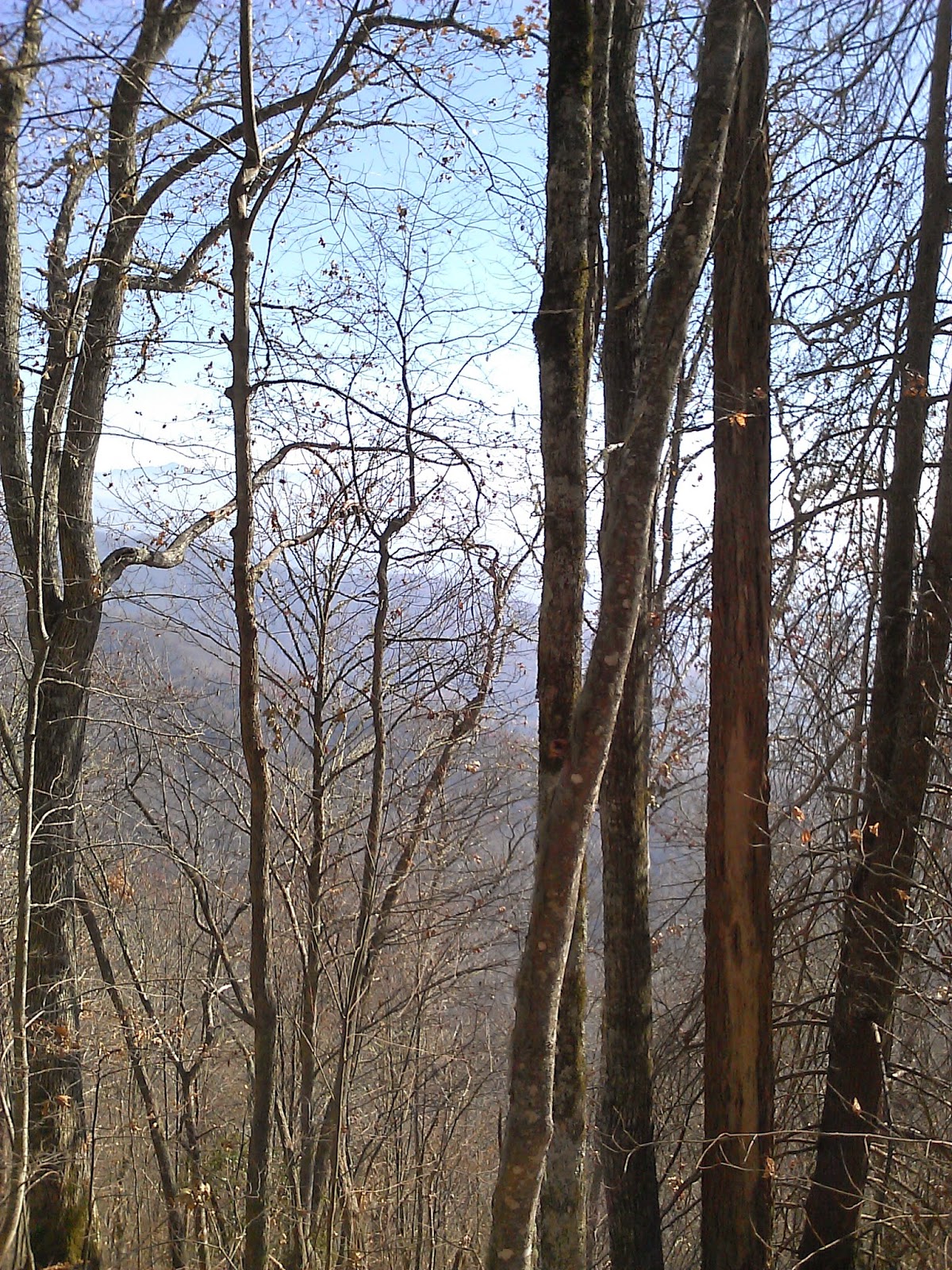
3.3 miles into the hike, Thomas divide turns right off of the road and becomes a classic single track trail. There were a few nice views through the trees. I had phone service in this area, so I called home to check in.
At 4.5 miles, the uphill ended and the trail immediately turned down hill. About 5.6 miles into the hike, I reached the Deeplow Gap trail. At this intersection, I turned left onto Deeplow Gap. Deeplow continued steeply downhill for 2.2 miles. The 1st mile or so was on a normal trail, but the 2nd half was an old roadbed once again. The trail was a little rocky and the creeks were overtaking the trail in a few spots.
When Deeplow hit Indian Creek, I backtracked to Indian Creek Motor Trail. ICMT had a 1000' climb back up to Thomas Divide over 1.8 miles. ICMT was again the old road bed.
Back at Thomas Divide, I hiked 2.1 miles down to Stonepile Gap Trail which I took over to Indian Creek. At Indian Creek, I turned left to head towards Deep Creek. Indian Creek Falls was on the 0.5 mile section down to Deep Creek.
This nice falls was on Deep Creek.
I turned right onto Juney Whank Falls loop trail to check out another waterfall.
I walked the 1 mile back to the car on Tom Branch Road. The day started cold but ended very nice.




.jpg)


