Sunday, August 31, 2014

Noland Creek - Springhouse Branch - Forney Creek - Whiteoak Branch - Lakeshore - Goldmine

Date: 8/30/2014
Distance: 24.5 miles!
New Map Miles: 17.2
Total Map Miles: 502.6

I spent a LONG day over in the Lakeshore area getting lots of new miles.  The day started with a very long drive over to the "Tunnel to nowhere" on Lakeview drive.  I left the house about 7:10 and arrived about 9:40.  I went through Gatlinburg even though the GPS suggested the "Dragon".  After gearing up, I hopped on the bike and coasted down the hill to the Noland Creek Trail (0.6mi).  After locking up the bike, I set out on my marathon hike at about 9:50.  I started by turning right on the Noland Creek trail.  The 1 mile section to the left was left for later.  Noland Creek is an old gravel road that looked as if it has been used lately.  There isn't much elevation change, so this 4.1 mile section went quickly.


 At the Springhouse Branch Trail, I took a left and the climbing began in earnest.  The trail is 7 miles long and goes from about 2000' to about 4000' and then back to 2000' during that time.


 At the highest elevation, I was on a ridge which had some cool breezes which felt great as I was really hot and sweaty.  At least at the higher elevation, the bugs had calmed down a bit.


 At the end of Springhouse was a large campground which had this old chimney in the middle.


From here I turned right and went up Forney Creek to Jonas Creek (1.1mi each way).  I'm not sure I'd want to hike this section in a rain storm as it was obvious that parts of it turn into a river in bad weather.  On this day, it was just rocky in sections.


 I spotted this old railroad track in the creek at one point.
 At the Jonas Creek Trail, I turned around and backtracked.

 Back at Springhouse, I adjusted my boots and admired the butterflies for a short break.


When I reached Bear Creek Trail (2.4mi from the campground), I turned around again and hiked back to the Whiteoak Trail. (1.1mi)

 Back at Whiteoak, I took Whiteoak to Lakeshore.
 At Lakeshore, I took a left to head back toward the car.
 But instead of the direct route after 1.3mi, I took the Goldmine Loop trail (2mi).  This chimney was standing in a field of yellow wildflowers on the Loop.
 The trail dropped down to Fontana Lake.  The view was great.

Goldmine ends on the Tunnel Bypass trail which I took back to the car (0.4mi).  I then drove down to Noland Creek to pick up the bike.  Since I didn't feel to bad, I walked the 1 mile section of Noland Creek down to campsite 66.  The campsite was directly on the edge of the lake.   I was back at the car about 6:45.
I followed the GPS's advice and drove the Dragon to get home to avoid Gatlinburg traffic.  I'm not sure it was wise as it was dark and raining on most of it.  I didn't get home until about 9:40.

Long day, but enjoyable.

Friday, August 29, 2014

Chestnut Branch Trail - AT (Lower Mt Cammerer to Davenport Gap)

Distance: 5.8 miles
Biking Distance: 1.7 miles
New Map Miles: 4.9
Total Map Miles: 485.4

After good luck with my bicycle shuttles last week, I used the technique again today.  I drove to where the AT leaves the park (Davenport Gap) and parked my car.  I hopped on the bike and road down the gravel road to the Big Creek Entrance to the park and left my bike at the 1st parking area which was also equipped with a privy.  The bike ride was 1.7 miles and was a bit steep at times on the gravel.  I started hiking about 1:50.

From Big Creek, I headed up the Chestnut Branch Trail.  It is a 2 mile trail that terminates at the AT.  The trail started out wide and eventually narrowed down to a normal Smokies Trail.  The trail was well maintained and the footing was good.  It did climb up the mountain with an elevation gain of 1300'.  The day was hot and as a result I did lots of sweating.  I didn't think to pick up a Gatorade on the way out this morning and was regretting it.  There was a creek that the trail followed up the mountain, but there were no creek crossing issues.

At the AT, I turned left to get the 1 mile to the Lower Mt Cammerer trail.  This portion of the trail continued the uphill climb for another 500' of gain.  At the Lower Mt Cammerer Trail, I turned around and followed the AT back to the car.  I did walk down and check out the Davenport Gap Shelter as I went by.  It is still equipped with a chain link fence.  The others I've seen don't have the fence.

There were no great views on this trail, but it was a nice walk in the woods on a Friday Afternoon.  I was back at the car about 4:00.  I then turned the car around and went back to Big Creek to pick up the bike.


Sunday, August 24, 2014

Flat Creek - Spruce Mountain - Hyatt Ridge - Beech Gap

Hiking Distance: 13 miles
Biking Distance: 6 miles
New Map Miles: 9.1 miles
Total Map Miles: 480.5

Today was an adventure that included hiking, biking and a long drive through the woods.  I set out to mark off several of the odds and ends along the Balsam Mountain Road.

7:00 am
The day started early leaving the house about 7:00.  I took 1-40 east exiting at the Maggie Valley exit.  I drove through Maggie Valley and got on the Blue Ridge Parkway.  It was very foggy on the parkway, so I could see nothing at the many overlooks.  At Heintooga Ridge Road, I exited the Blue Ridge Parkway.

9:23am
Arrived at the end of Heintooga Ridge Road and hopped on my bike.  I road back down Heintooga 3.5 miles to the lower end of the Flat Creek Trail.  It was a glorious cool morning up at the high elevation (5300').  The bike ride ended too quickly.  I locked up the bike and headed back up the mountain on the Flat Creek Trail.
There was a fair amount of grass along the trail and the trees seemed young.  I assume this area was heavily logged  before the park was formed.


The trail was pleasant.  It arrived at the Balsam Mountain picnic area.  There was a nice overlook at the picnic area.


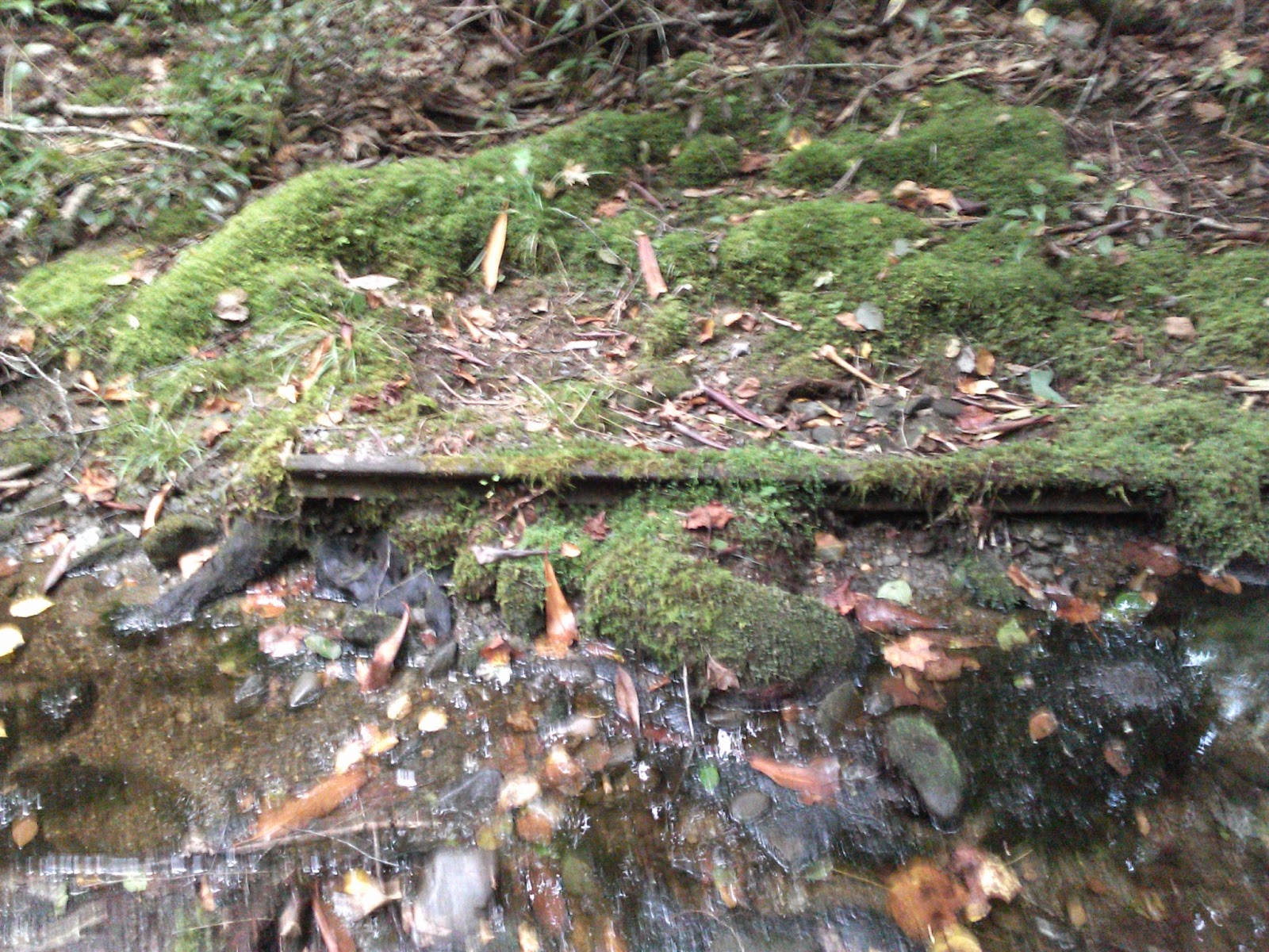
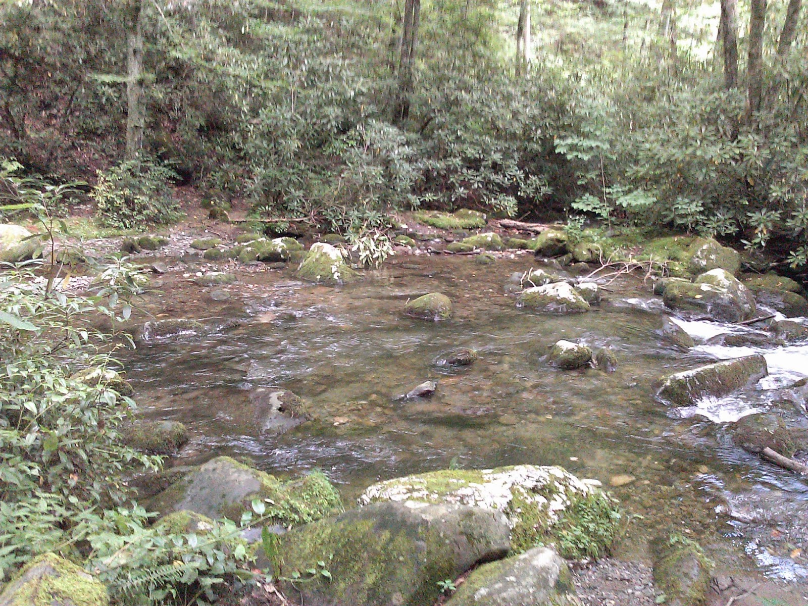
The elevation graph includes the bike ride down.  The trail did head down into the valley at the beginning and then climbed about 600'.  There were 1 or 2 easy stream crossings.

At this point, I got back in the car and drove down the mountain and picked up my bike.  I then turned around and drove back to the top and started down the Balsam Mountain Road.  It is a single lane one way gravel road.  About 4 miles down this road I arrived at the Spruce Mountain Trail.
11:21 am
The Spruce Mountain trail is a short trail up to campsite 42.  There were a few spots that would have a nice view in the winter, but on this day there wasn't much to see.  It was overgrown in a few spots, but mostly an easy trail to hike.  There was a very large tree near the campground that I photographed.  I quickly turned around and headed back to the car. 


12:10
Back at the car I continued my drive on Balsam Mountain.  I enjoyed my lunch while driving to Beech Gap.

 12:54
After a 45 minute drive, I arrived at Beech Gap and once again got the bike out and headed on down Balsam Mountain.  I was about .6 miles down the hill when I remembered my phone on the roof of the car.  I had to ride back up the hill to retrieve it and then road down to the Hyatt Ridge Trail.  The bike ride was only 1.3 miles, but my mistake turned it into 2.5 miles.

Hyatt Ridge was tough climbing from about 3000' to more than 5000'.  I was very sweaty when I arrived at the Enloe Creek Intersection.  I was hoping the climbing was about over, but there was more climbing to go.  The trails were in nice shape for horse trails.


3.5 miles into the hike, I arrived at the Beech Gap Trail intersection.  I headed on up to campsite 44 to get the 0.9 mile spur.  At the campsite there was a nice grove of coneflowers.


The Trip down the mountain was quick and I was back at the car at 4:00

I returned home by taking 441 over Newfound Gap.

6:20  Arrived at home after a long day.


Friday, August 22, 2014

Fork Ridge

Date: 8/22/2014
Distance: 10.4mi
New Map Miles: 5.2
Total Map Miles: 471.4

Today is Friday, but I was tired of work this week, so I headed out after a few hours and hiked the Fork Ridge Trail.  The Trail leaves from the Clingmans Dome road, and heads off on the NC side of the park.  The trail didn't have a very auspicious start as the trail was basically an overgrown ditch.  At least the ditch wasn't full of water.  After about 2 miles I passed a couple of Backpackers who warned me about the thorns farther down the trail.  I was pretty much sick of the overgrowth rubbing against my legs at that point anyway, so I switched to my long pants even though it was August.  The thorns weren't much fun.


The trail wasn't very good for about 2.5 miles, but at that point it improved and was more enjoyable.  There were a few spots with nice views, and some big trees.


Near the end of the trail, this creek crossing was necessary.  I walked around and tried to find a place to cross, but it was too deep to rock hop.  I remembered that I had a couple of trash bags in my pack, so I tried the redneck waders.  About 1/2 way across, both leaked, so I had wet feet the rest of the day.


Just to be really frustrating, about 20' on the other side of the creek, was the end of the trail.
If I could have seen the sign from the other side of the creek, I wouldn't have crossed.
 I tried for about 10 or 15 minutes to find a path across the creek from this side, but finally gave up and de-booted.  The water was a bit over knee deep.

The trip up the mountain was tough as the elevation rise was 3000'.  Hikes that start down and end going up are tough on the psyche.